ชิเระโตโกะ
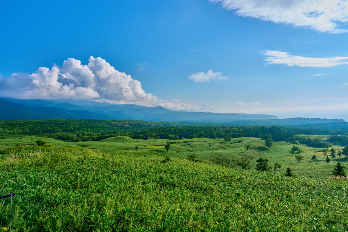
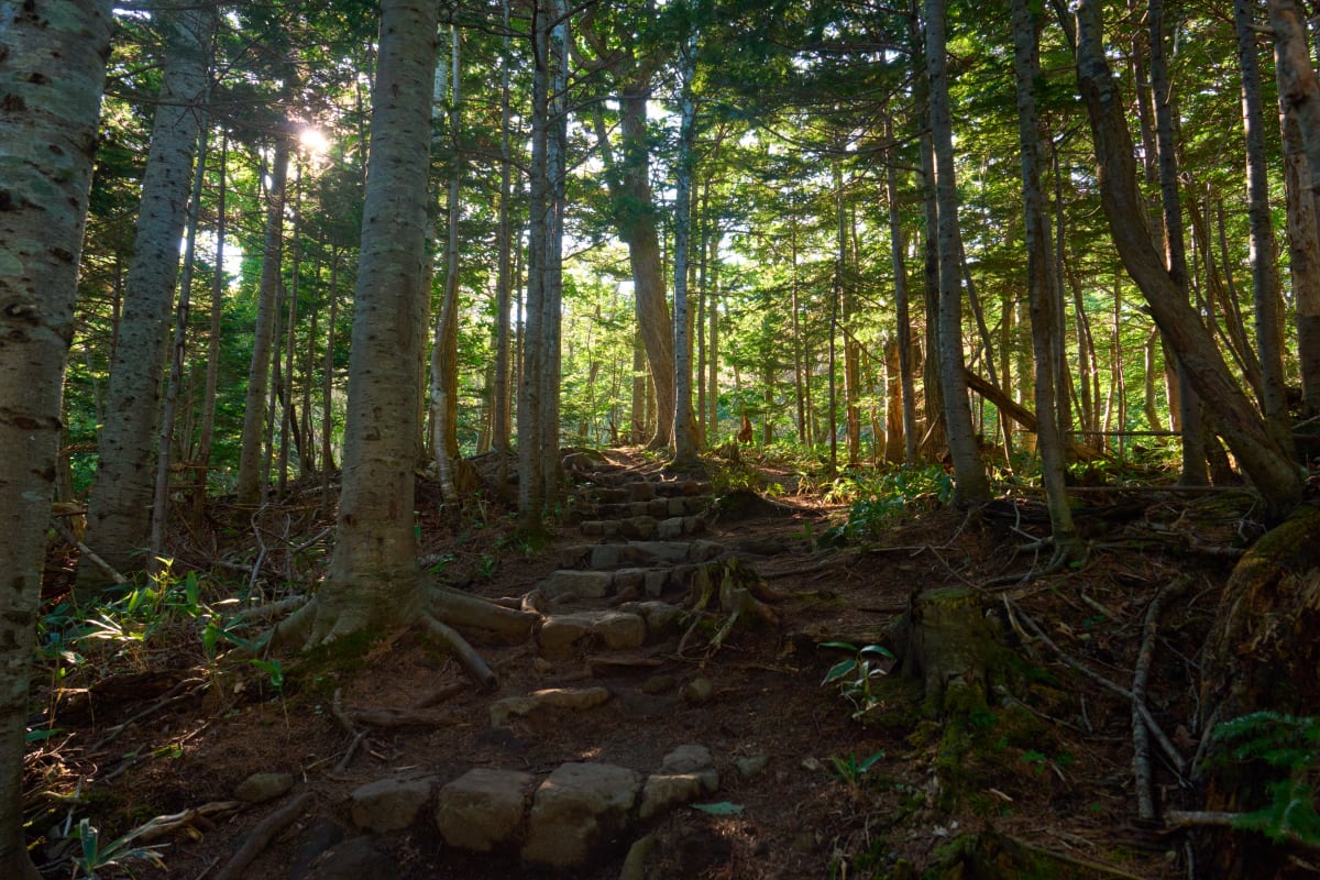
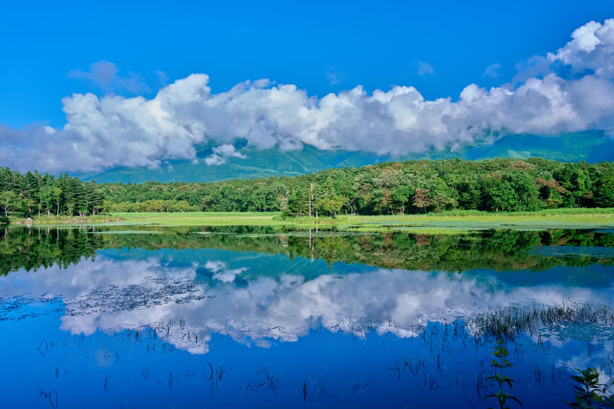
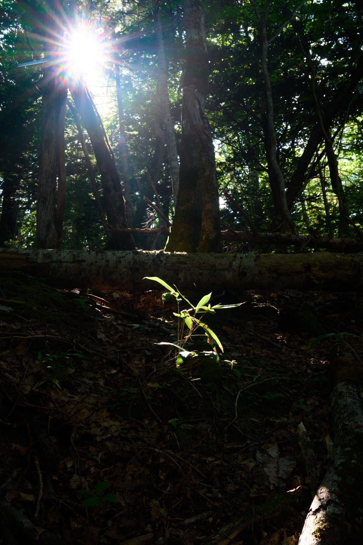
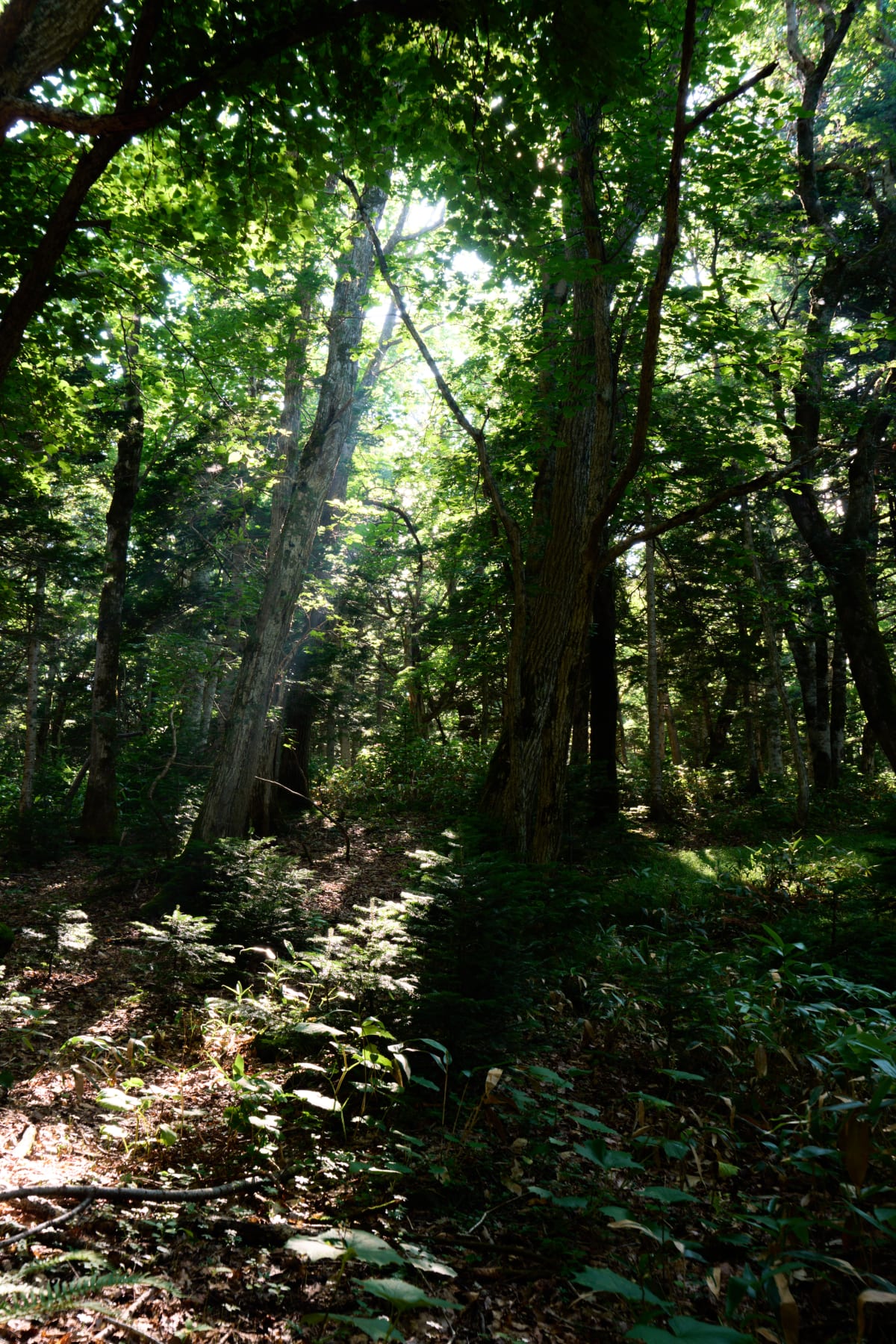
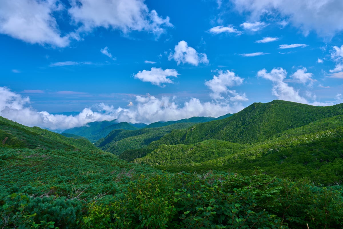
Shiretoko is a peninsula about 65 km long in eastern Hokkaido, between the Sea of Okhotsk and the Nemuro Strait, registered as a UNESCO World Natural Heritage Site in 2005. The name derives from the Ainu «Sir-etok» («the end of the earth»), and it lives up to that meaning: primeval forests, drift ice, sheer cliffs, waterfalls, brown bears, and Blakiston's fish owls combine in the most southerly extent of the Northern Hemisphere's drift ice and one of the world's densest brown bear habitats. Winter offers drift-ice walks; summer reveals the Shiretoko Five Lakes and cliff coastlines visible only from sightseeing boats; Cape Shiretoko itself remains unreachable by road — a final pilgrimage for photographers seeking edge-of-the-earth landscapes.
Highlights
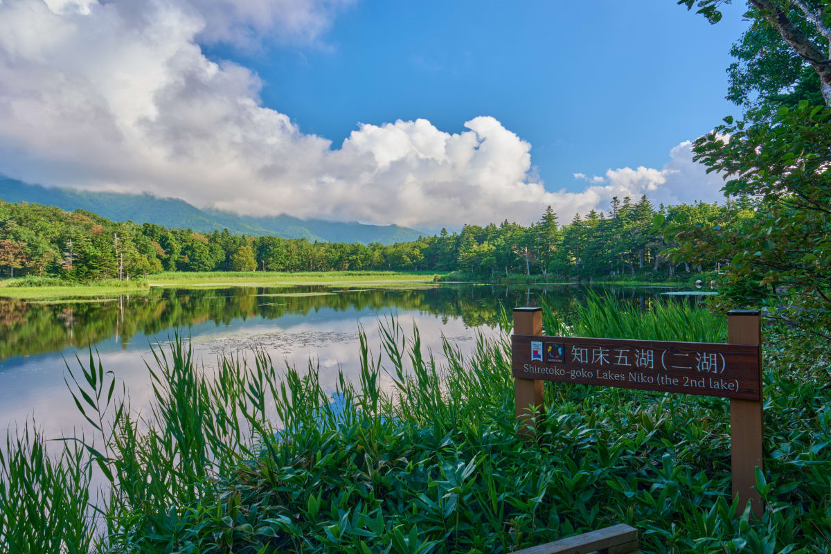
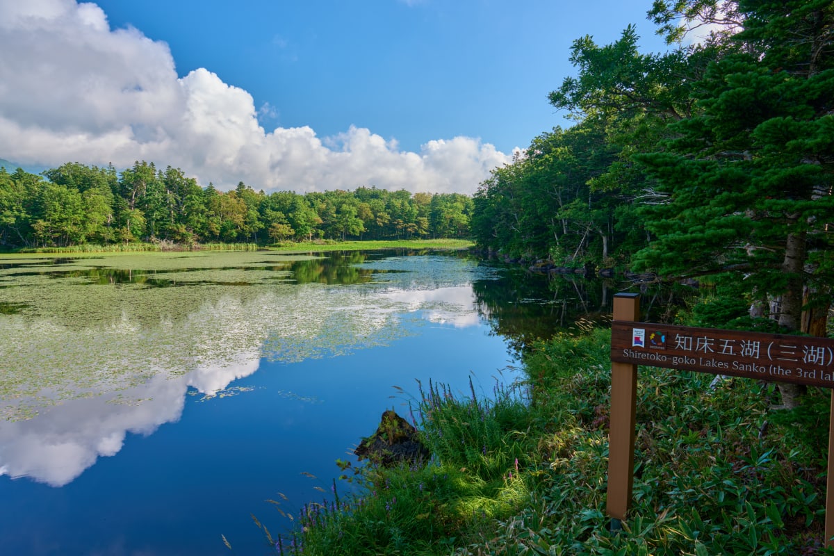
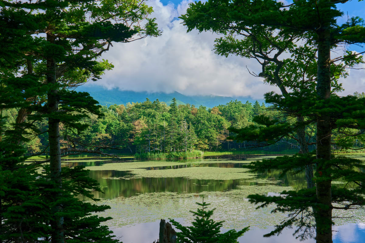
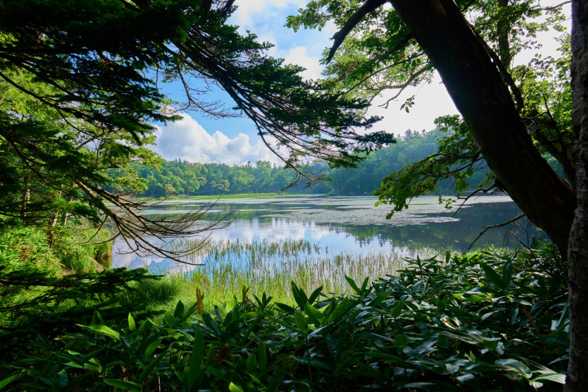
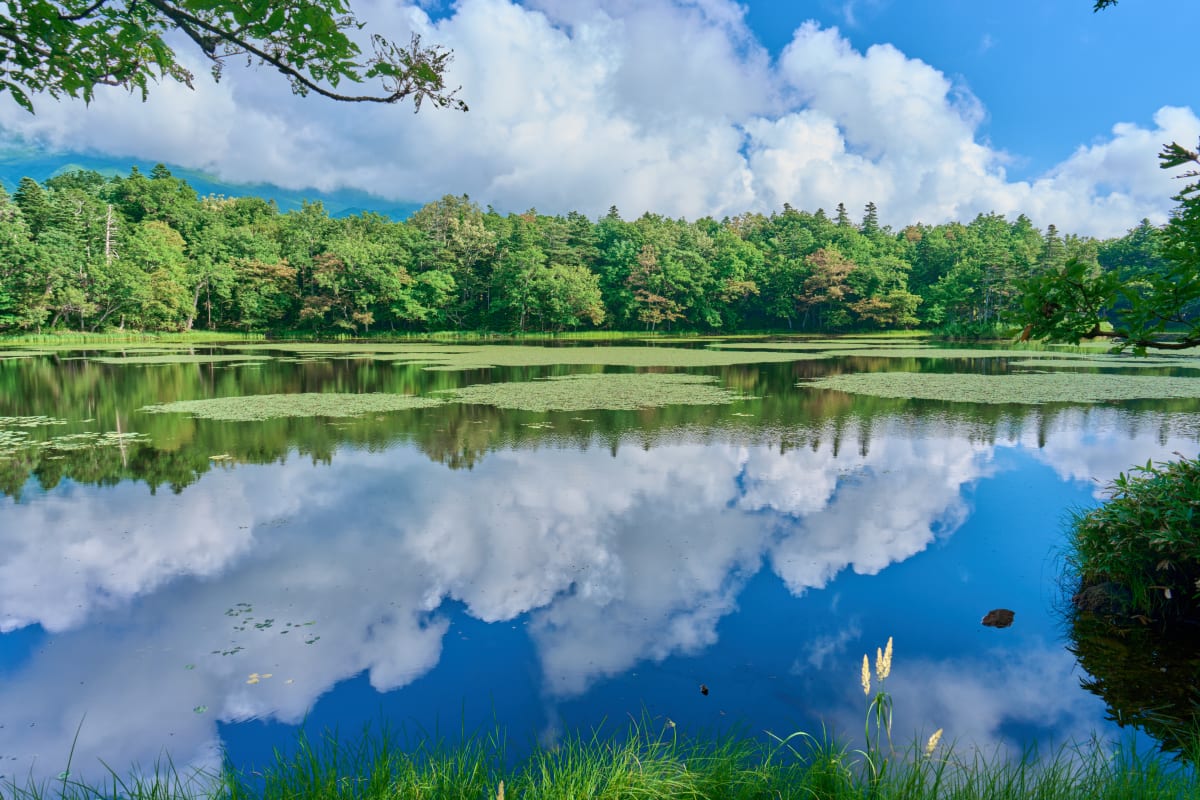
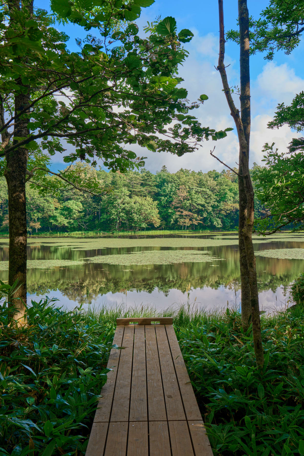
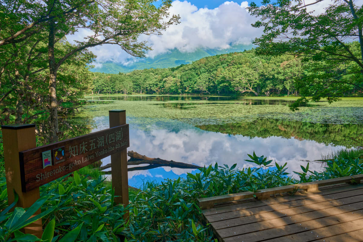
- Shiretoko Five Lakes — five lakes ringed by primeval forest; raised boardwalks let you walk safely above bear country, with the Shiretoko range reflected in calm water
- Sea of Okhotsk drift ice — late January to early March, the most southerly drift-ice zone in the world; «drift-ice walks» let you stand on it
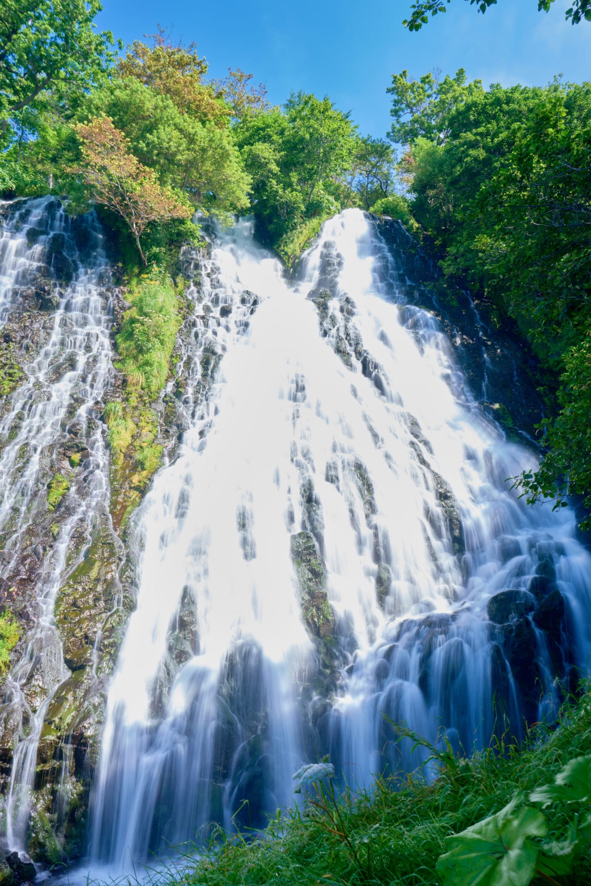
- Kamuiwakka Falls — a rare waterfall fed by hot springs; in summer, hike upstream to the fourth fall
- Cape Puyuni and Yuhi-dai — five minutes by car from Utoro; sunset over the Sea of Okhotsk silhouettes the cape
- Sightseeing boats — from Utoro Port to Cape Shiretoko, viewing cliffs, waterfalls, and brown bears on a 3.5-hour cruise
Quick Answers


Practical Information
- Access
- 2-hr bus from Memanbetsu Airport to Utoro Onsen. Via Kushiro Airport also possible.
- Parking
- Free parking at most Utoro tourist facilities.
- Admission
- Shiretoko Goko trekking ¥250-3,500 (varies by season). Drift-ice cruise from ¥4,500.
- Duration
- Full day (early start in drift-ice season).
- Best Time
- Drift-ice season Jan-Mar early mornings (8-10). Summer for Goko.