Hokkaido
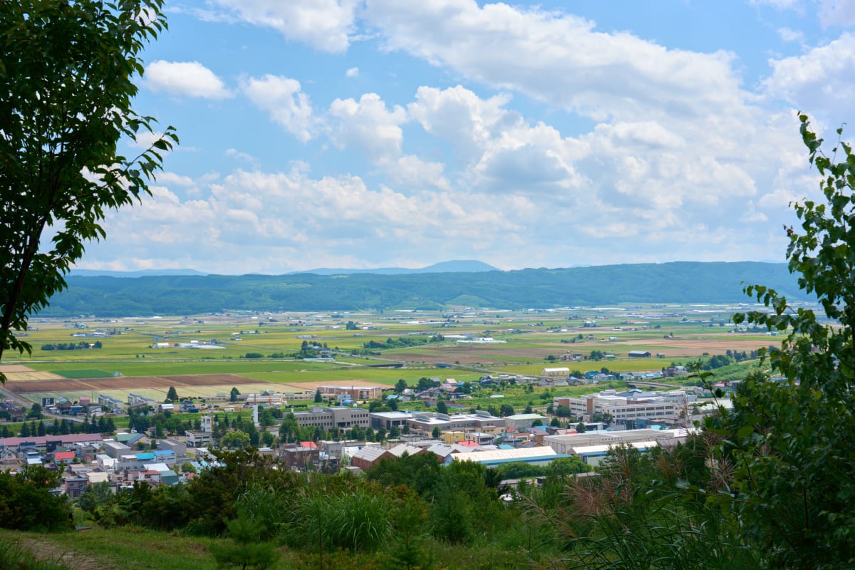
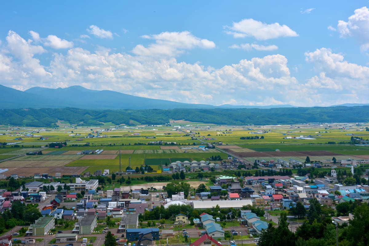
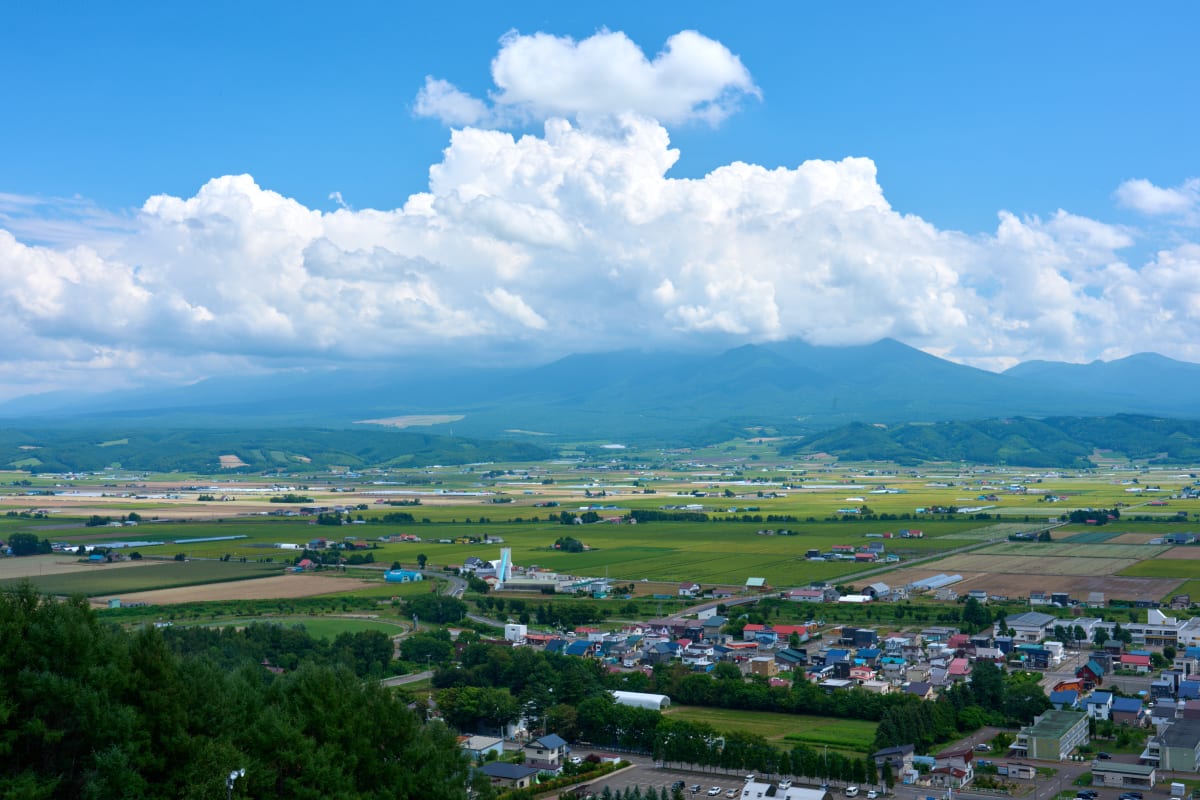
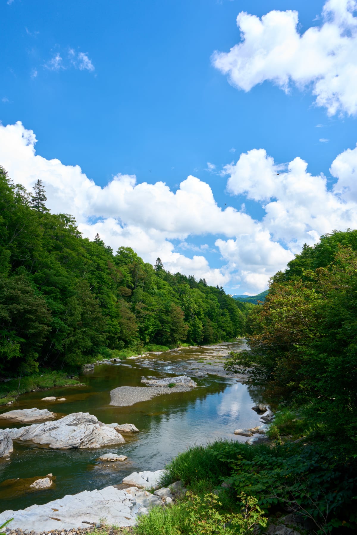
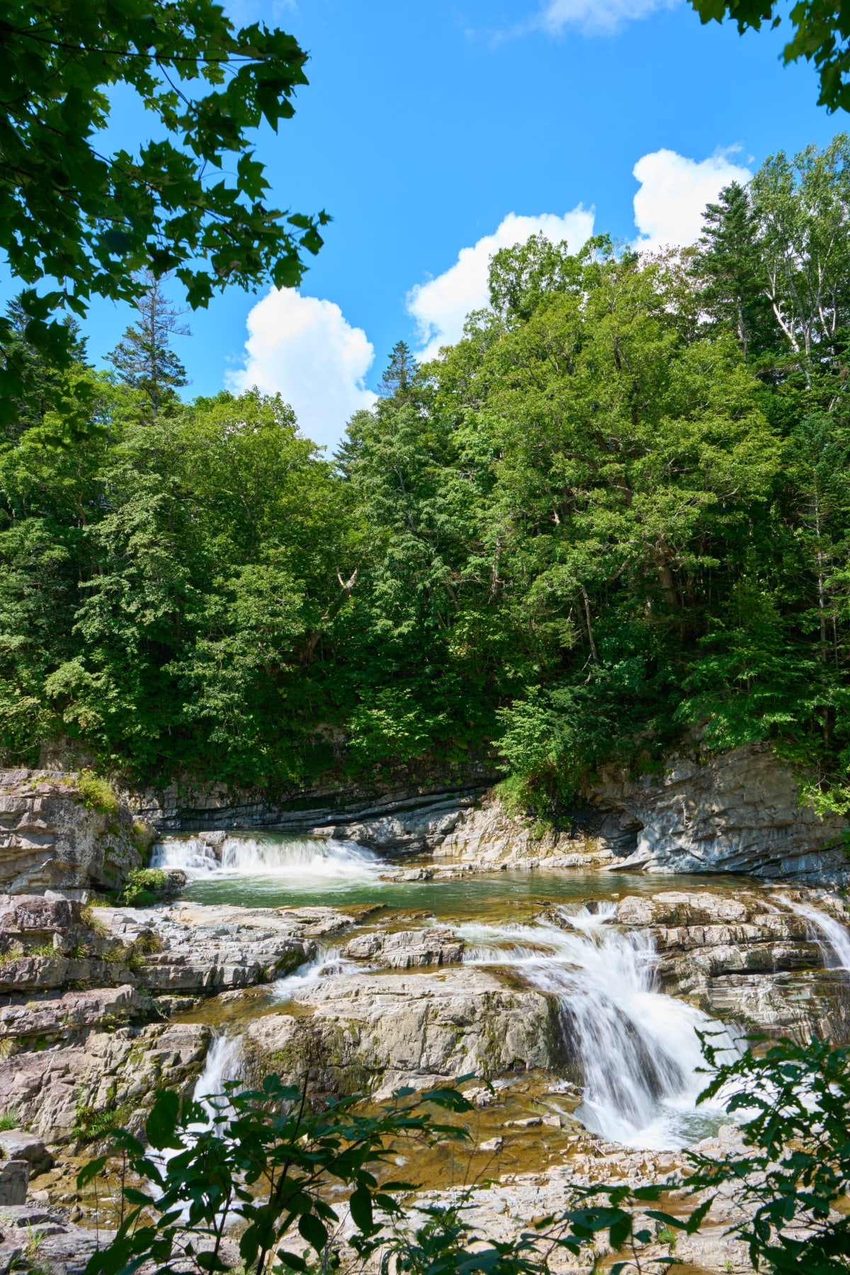
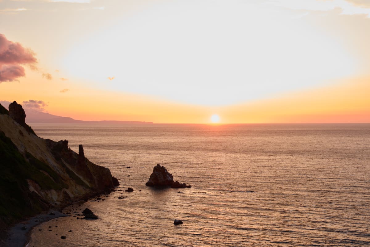
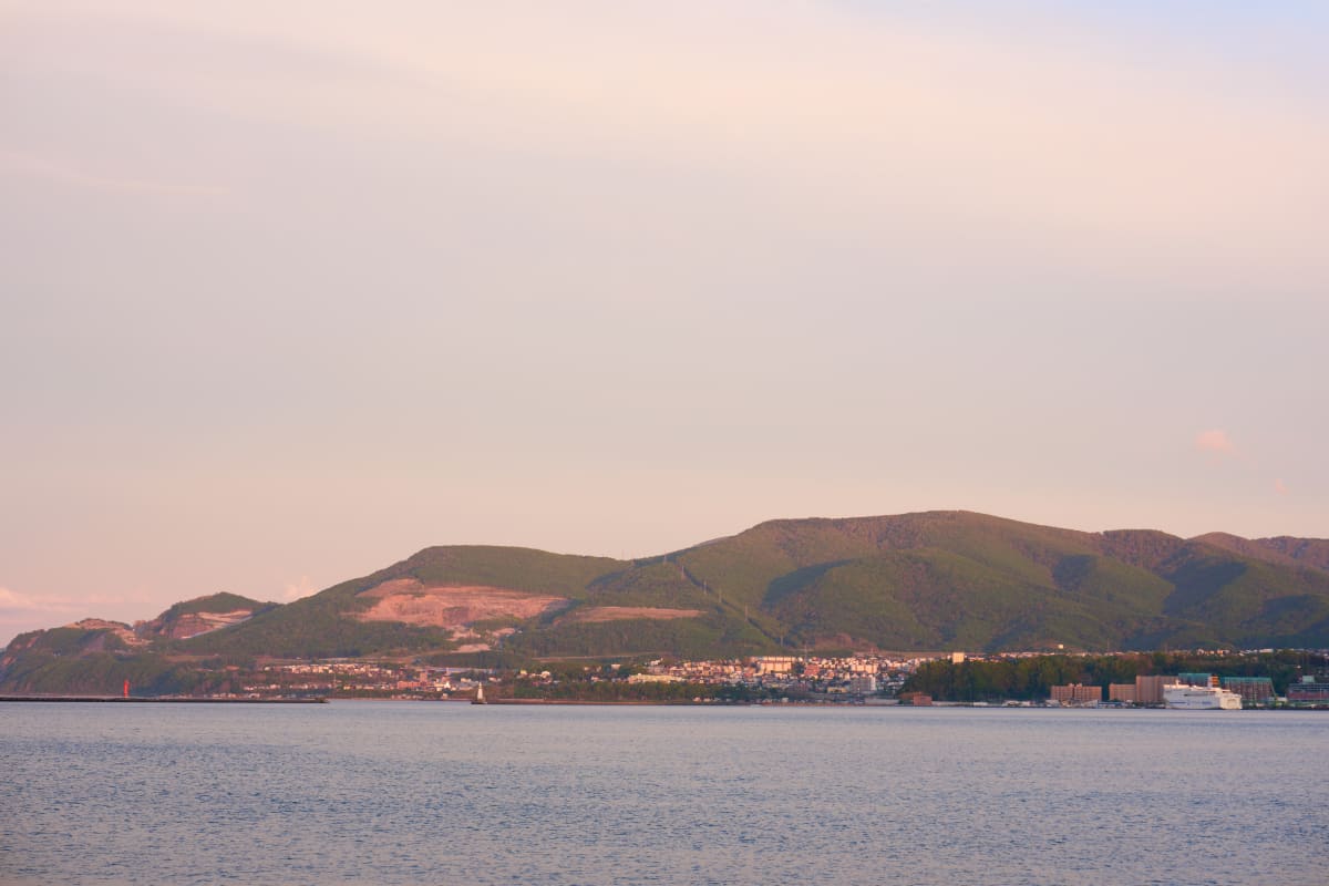
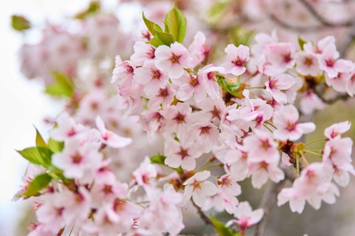
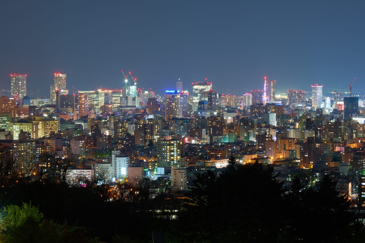
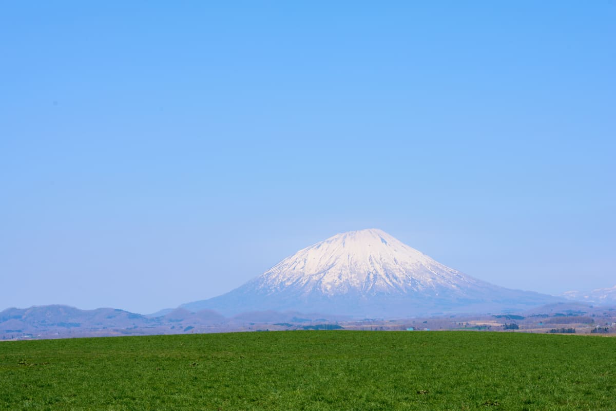
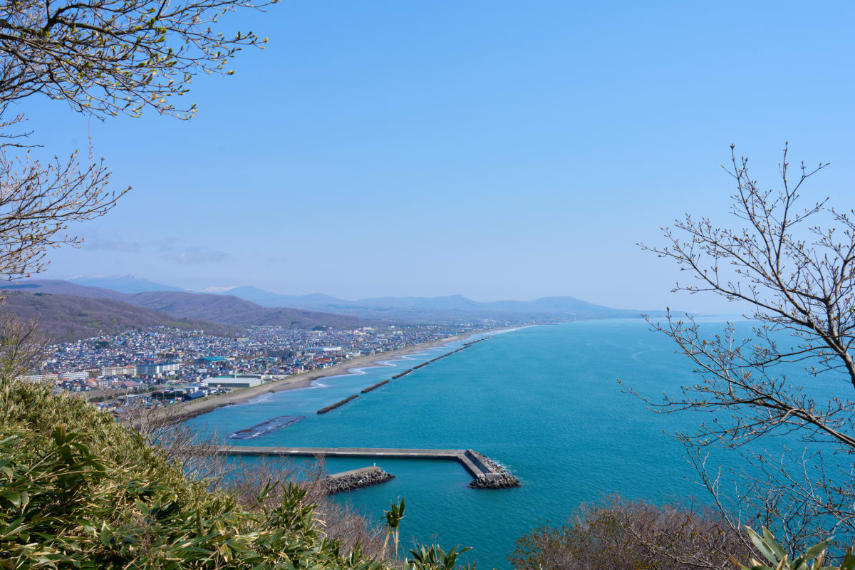
Hokkaido is Japan's northernmost main island and, at 83,424 km², covers about 22% of the country's total land area. Its volcanoes, primeval forests, lakes, and vast farmland produce landscapes — drift ice, lavender, deep winter snow — that simply cannot be photographed elsewhere in Japan. With Sapporo, Hakodate, Shiretoko, Furano, Otaru, and many more distinct destinations, it remains one of the country's richest grounds for landscape photography.
Highlights
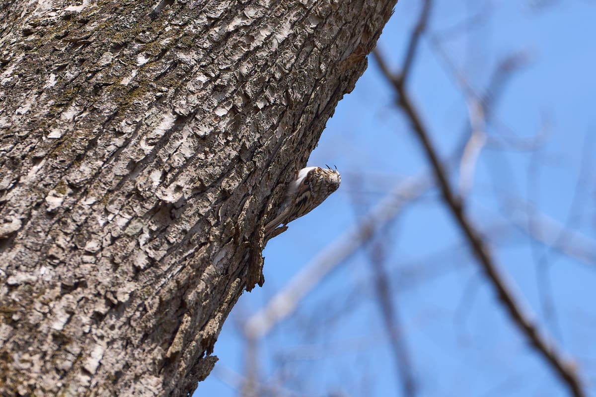
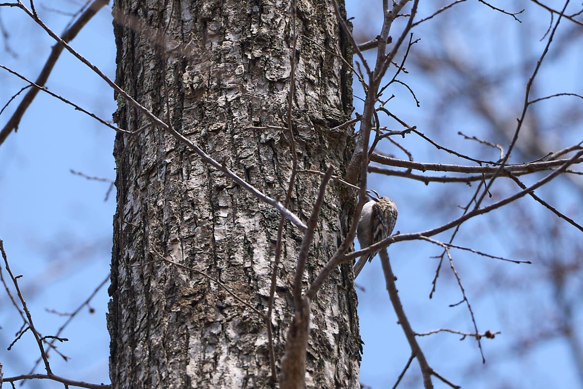
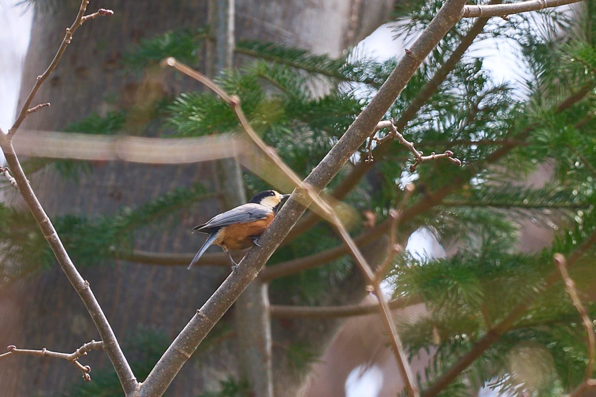
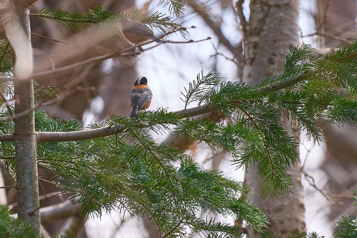
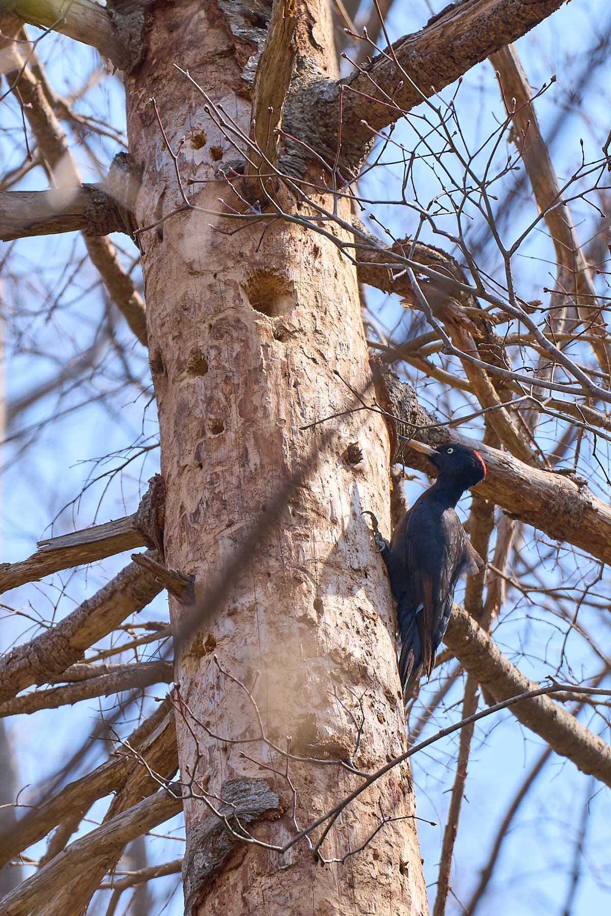
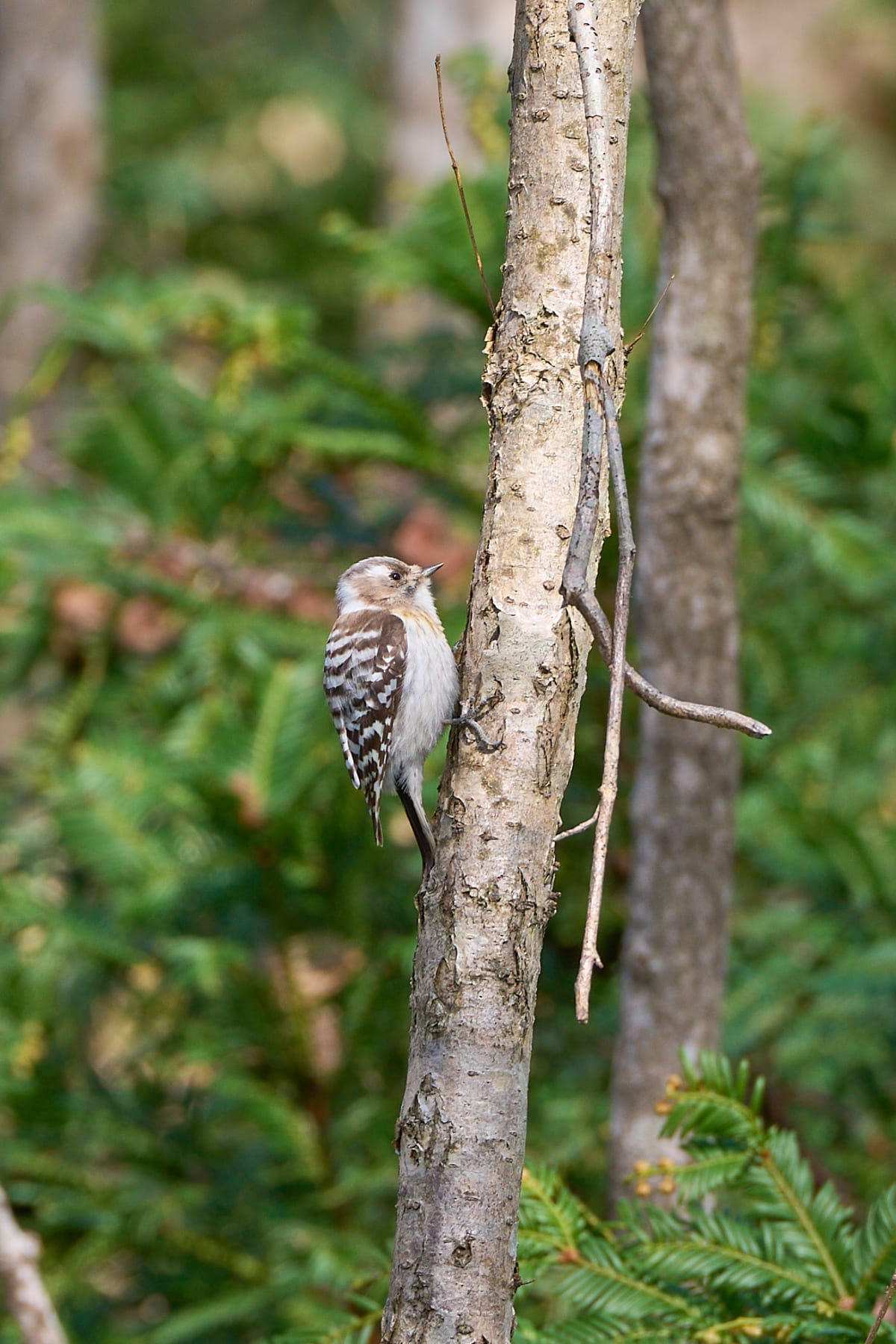
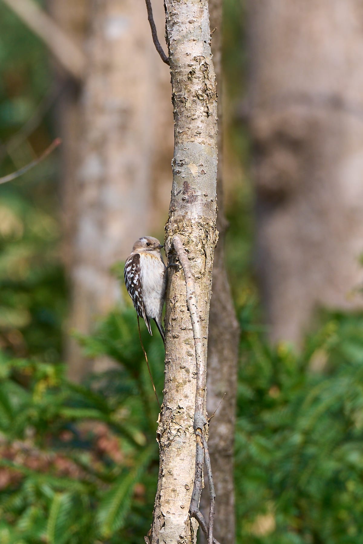
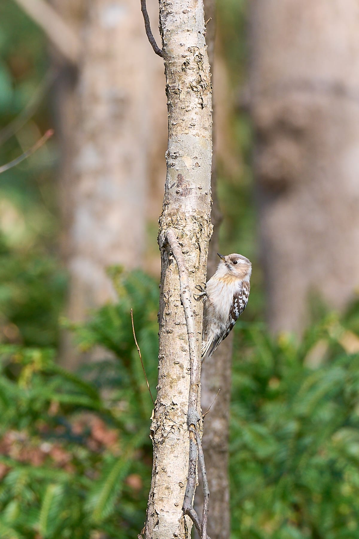
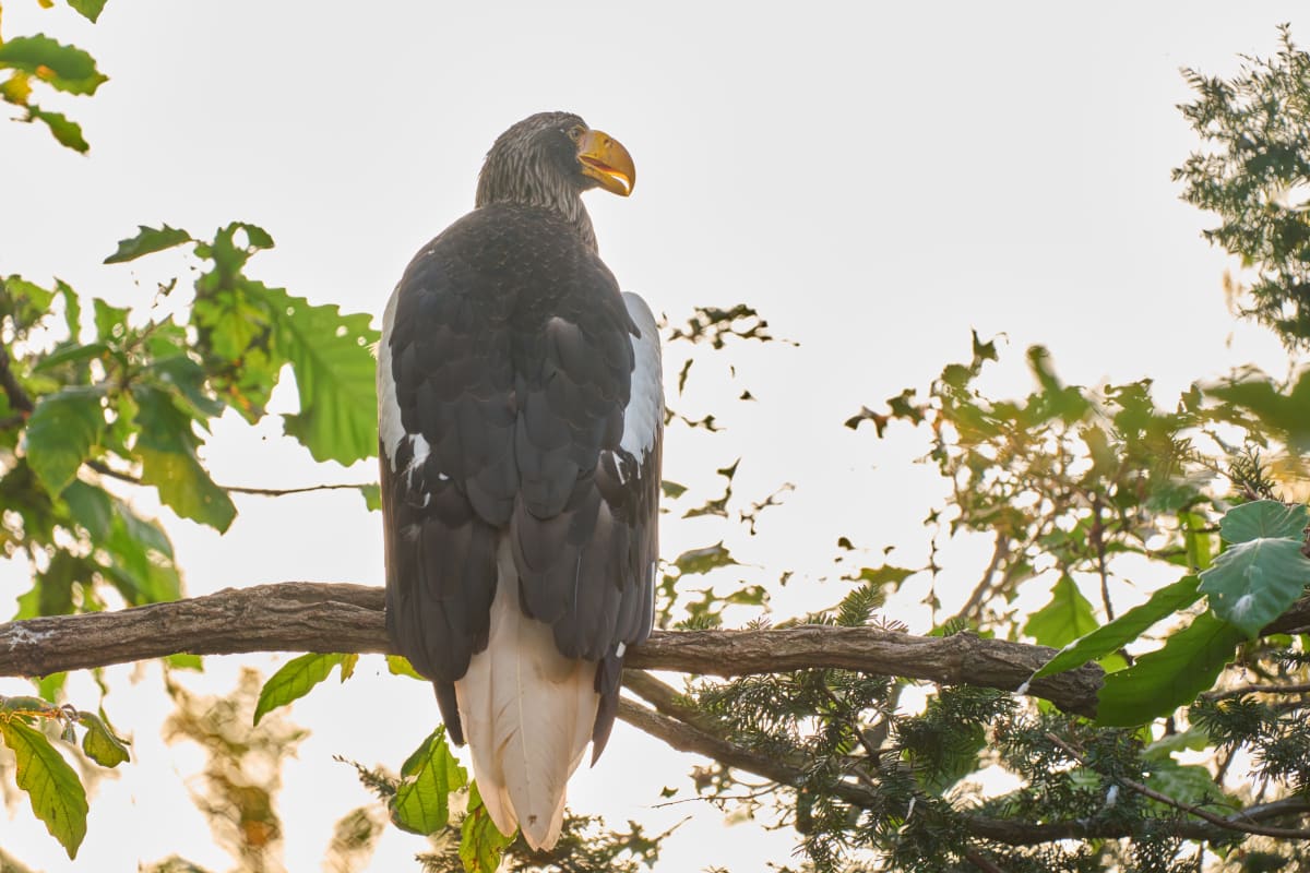
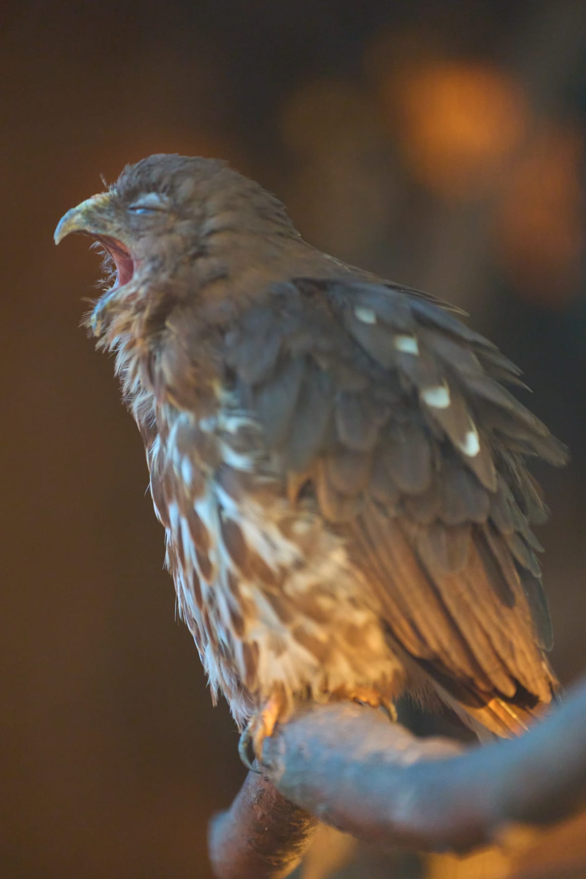
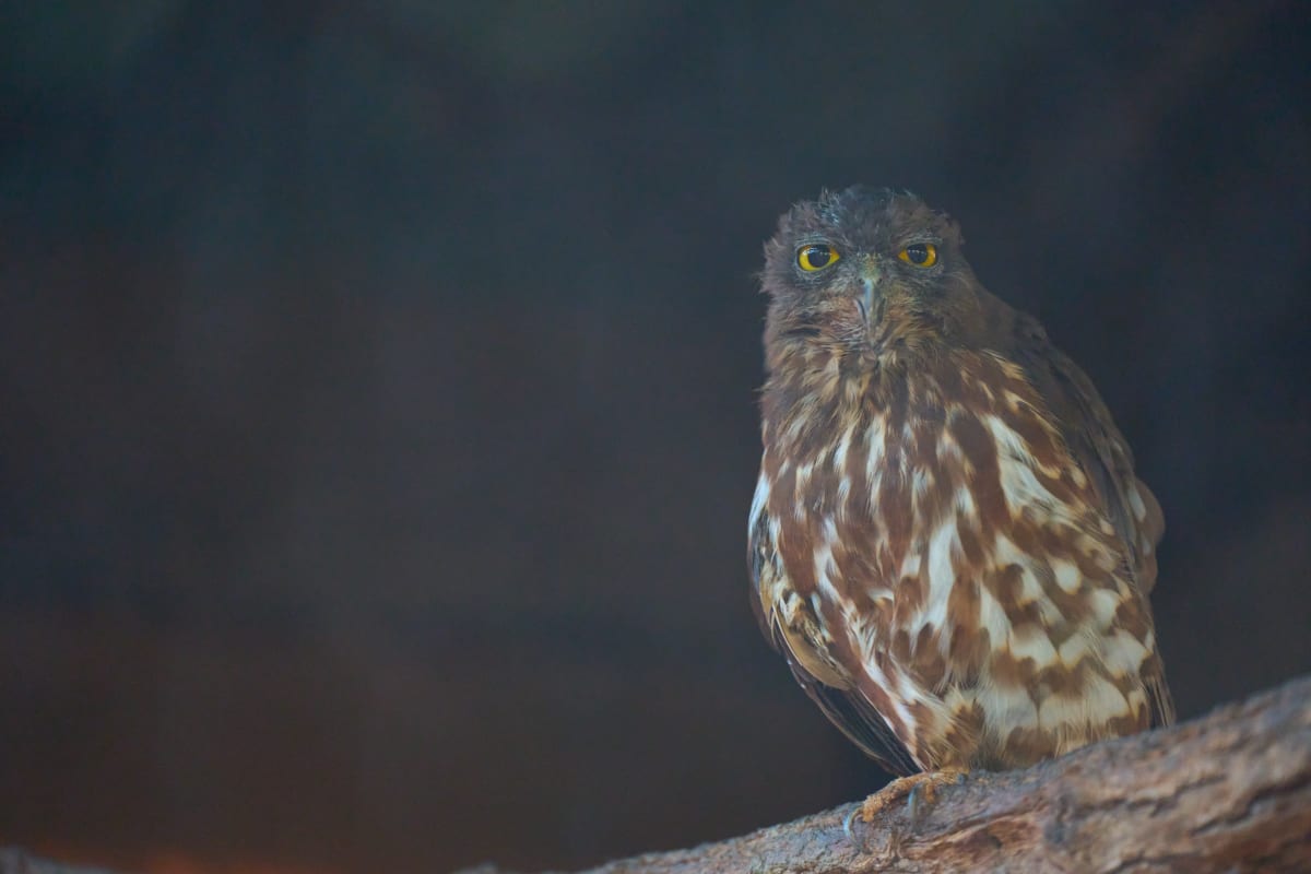
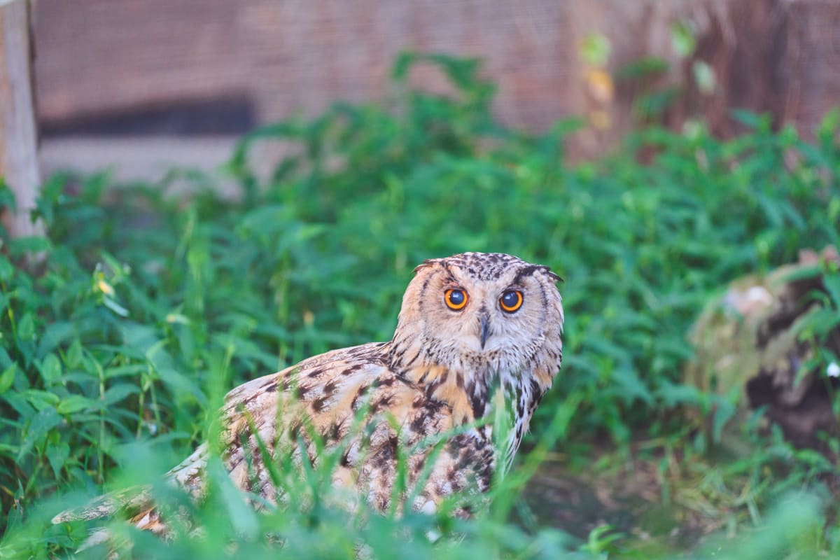
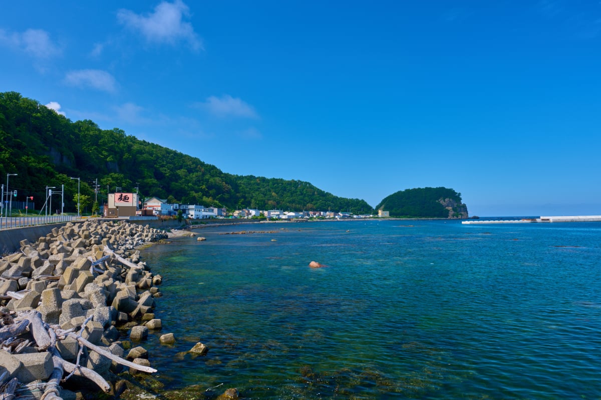
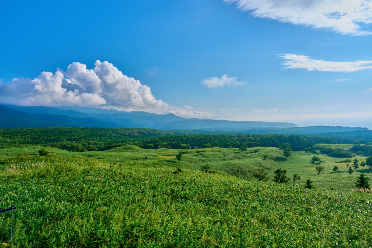
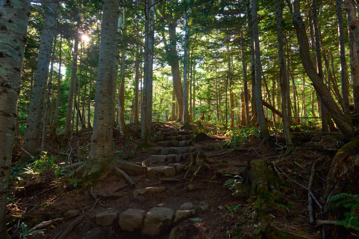
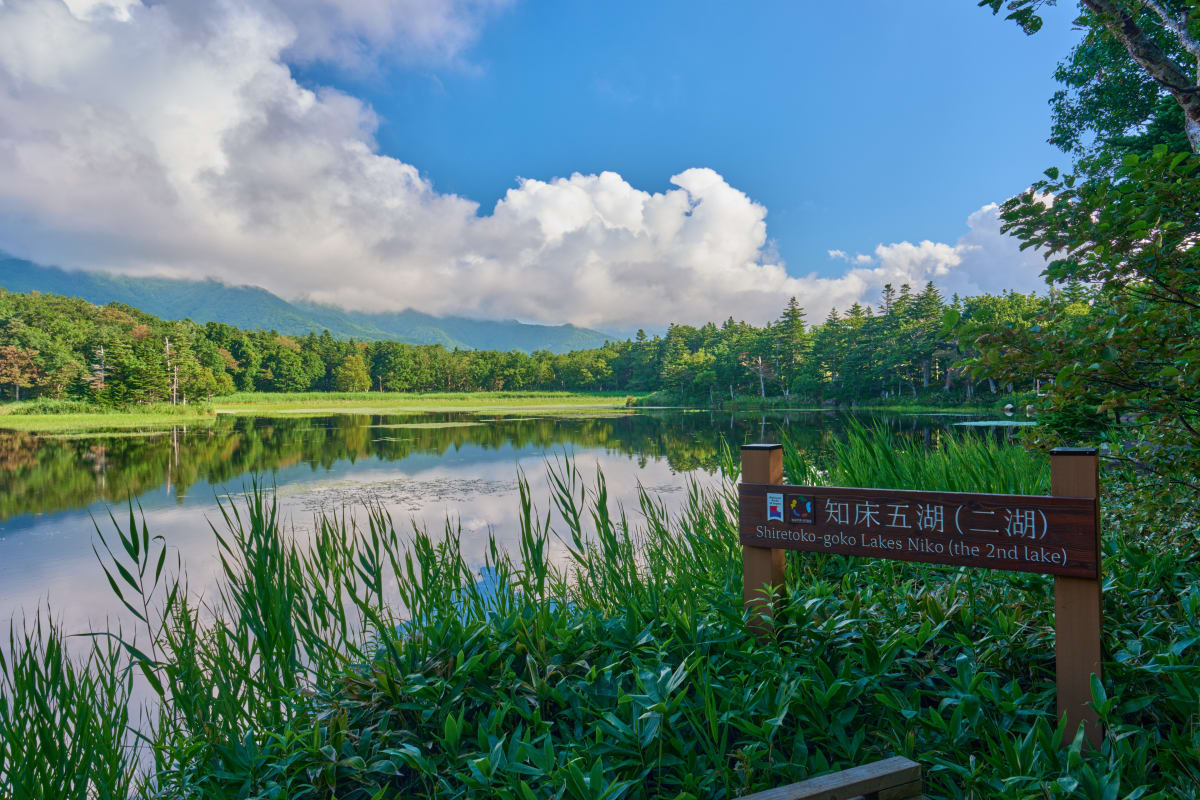
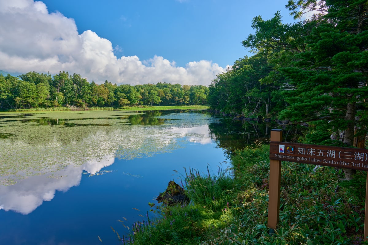
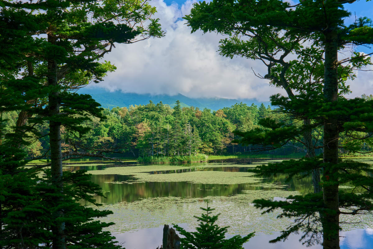
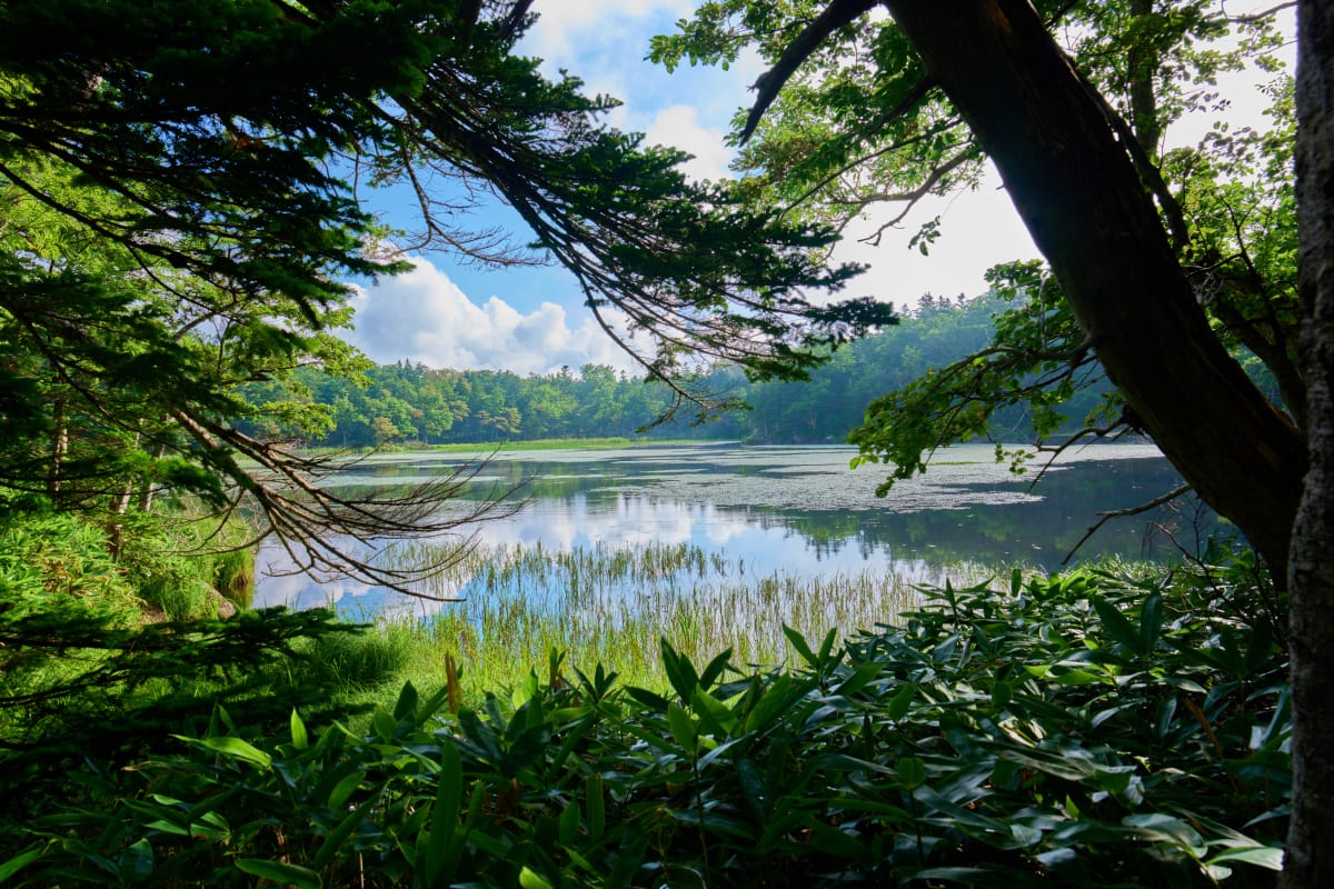
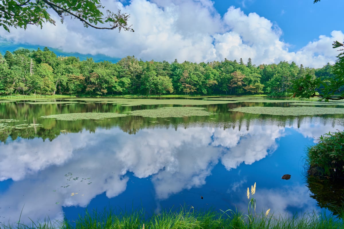
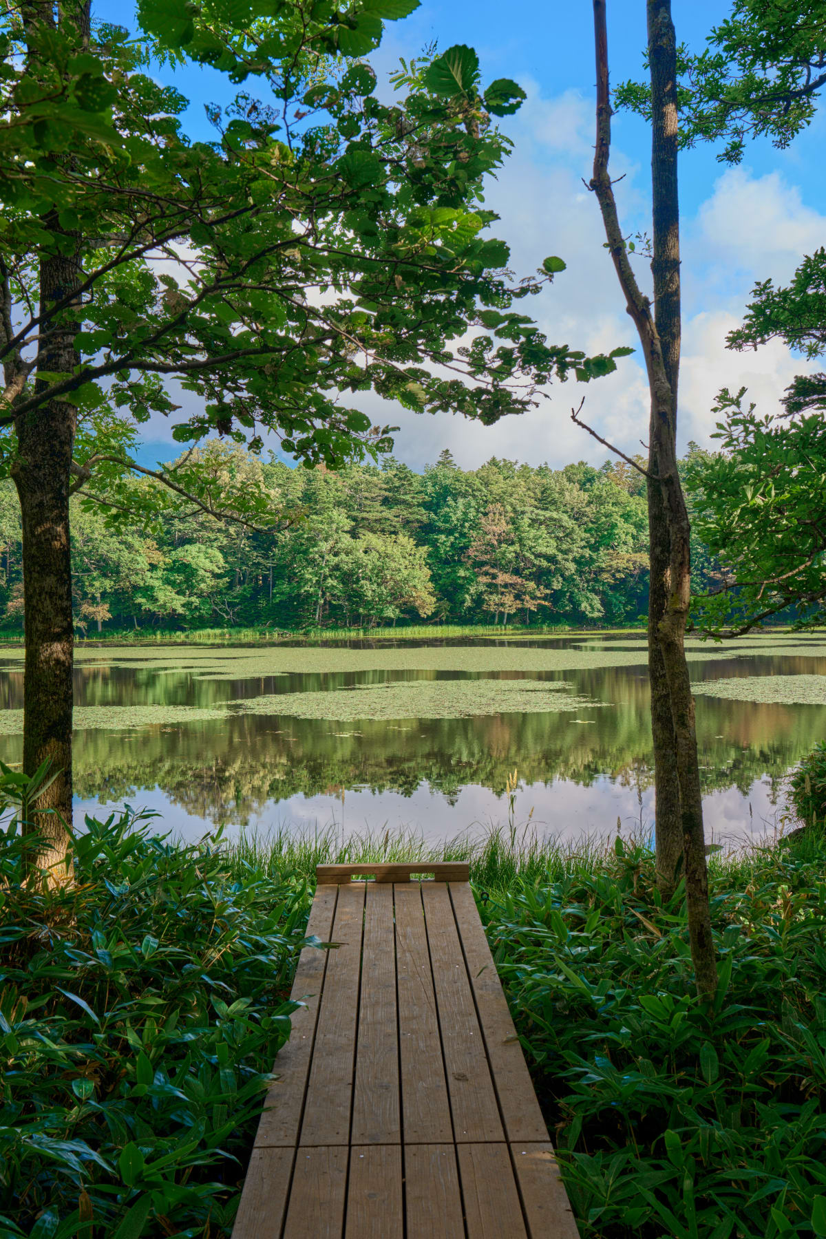
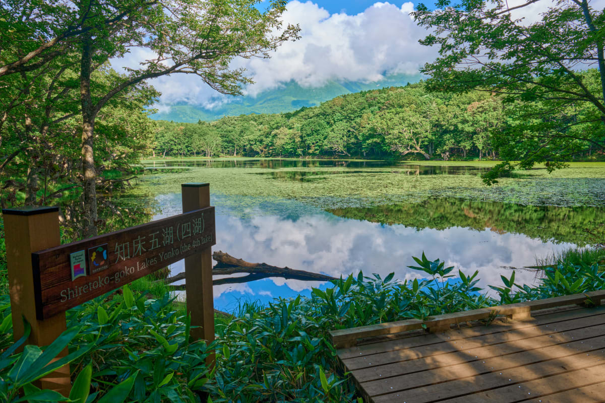
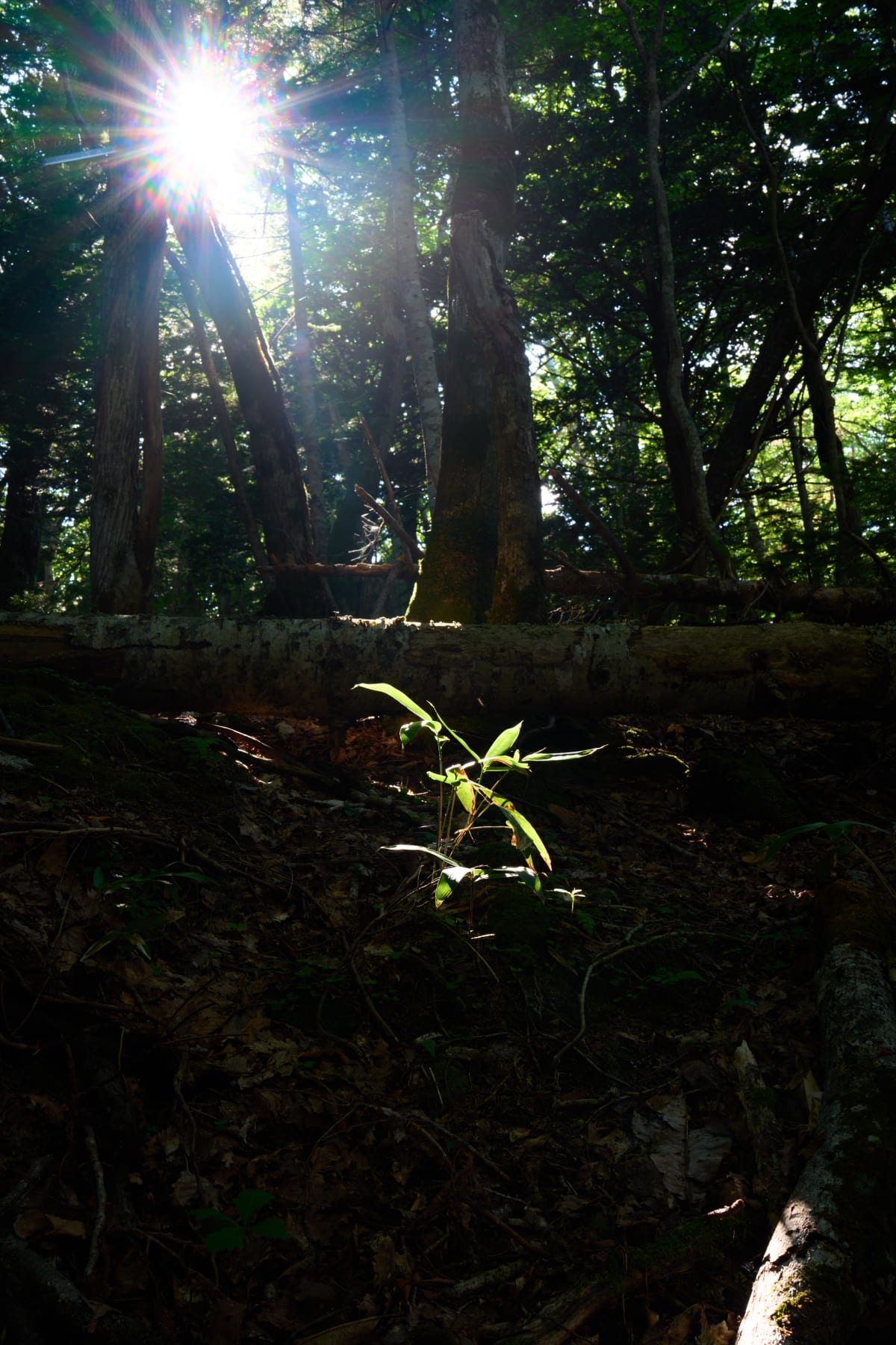
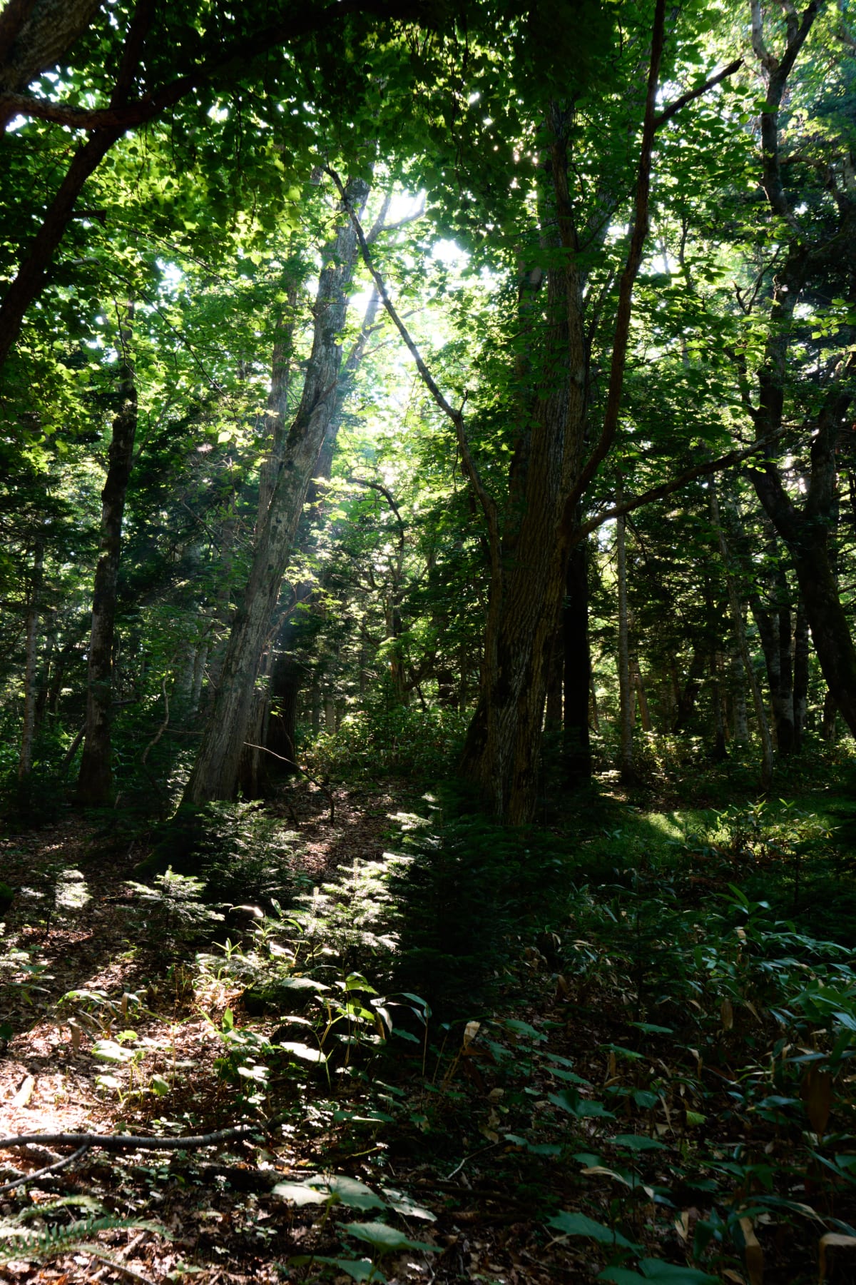
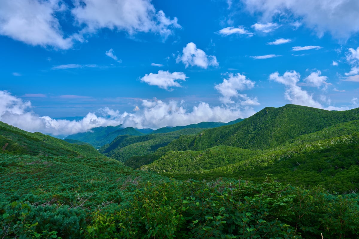
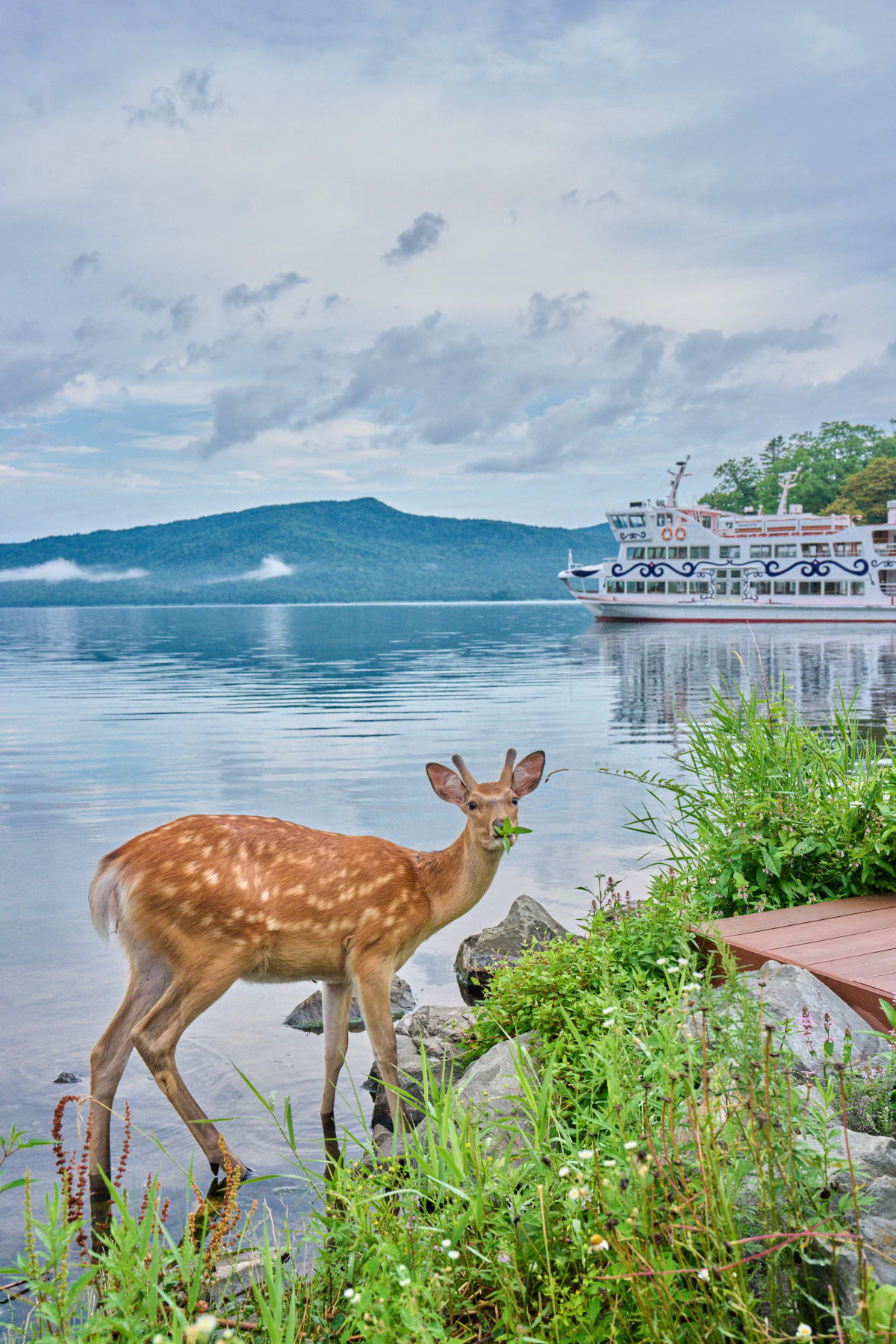
- Shiretoko Peninsula (UNESCO World Heritage) — primeval forests, drift ice, brown bears, and Blakiston's fish owls in Japan's wildest corner
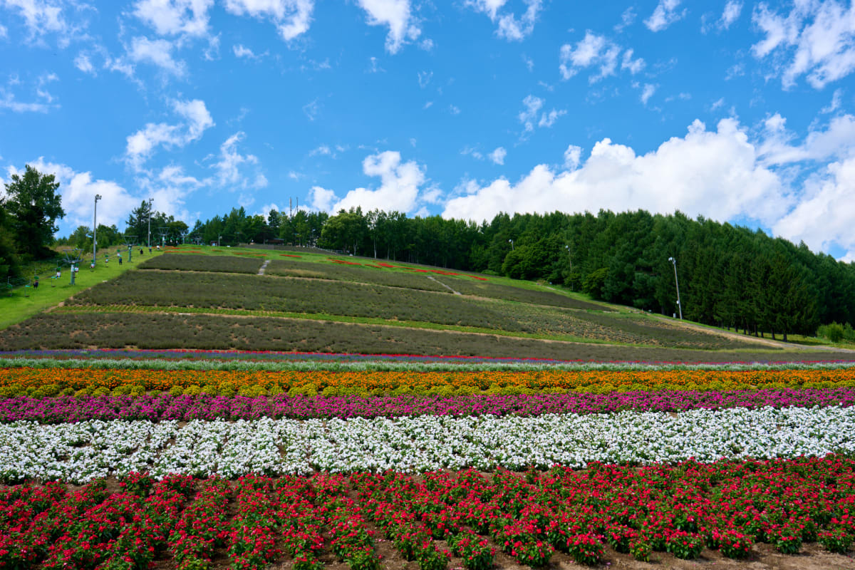
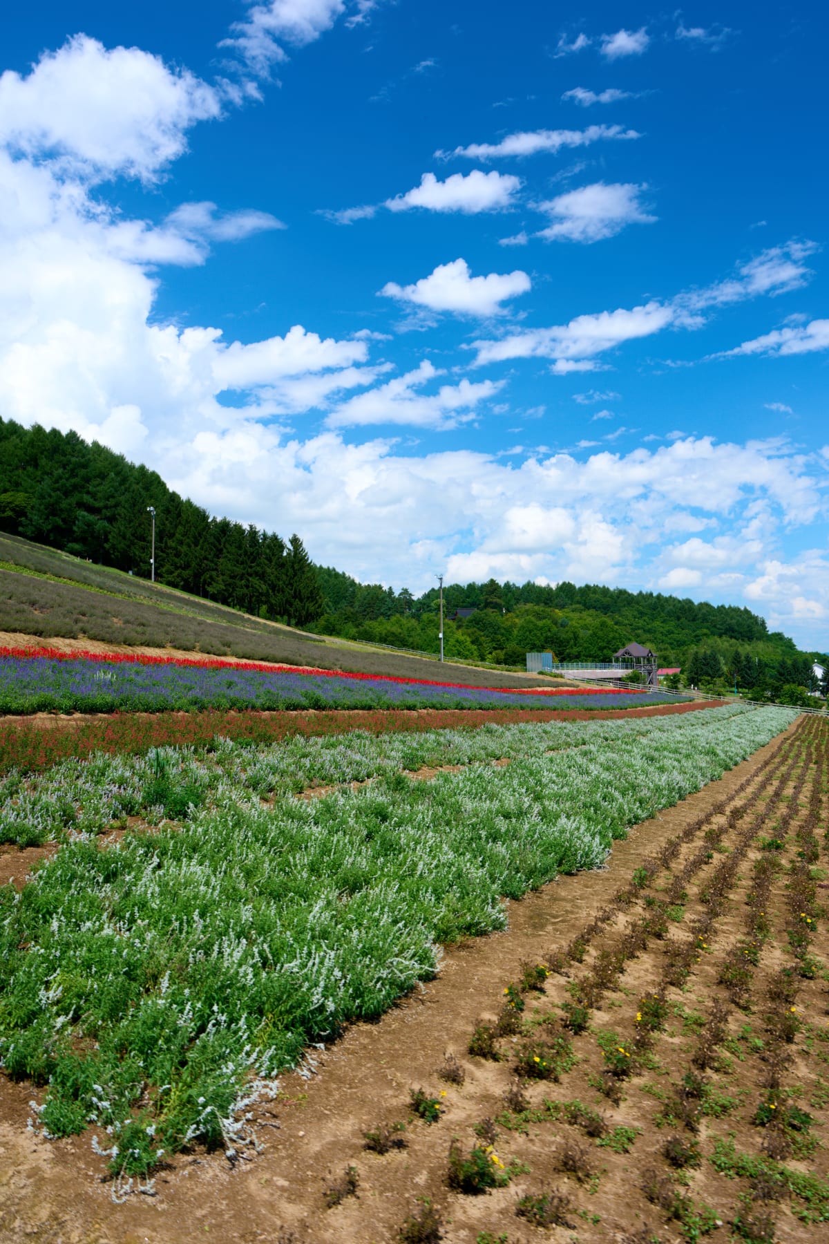
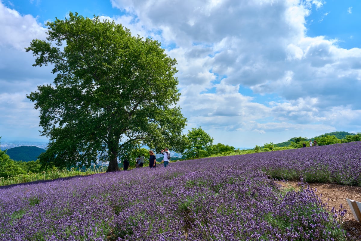
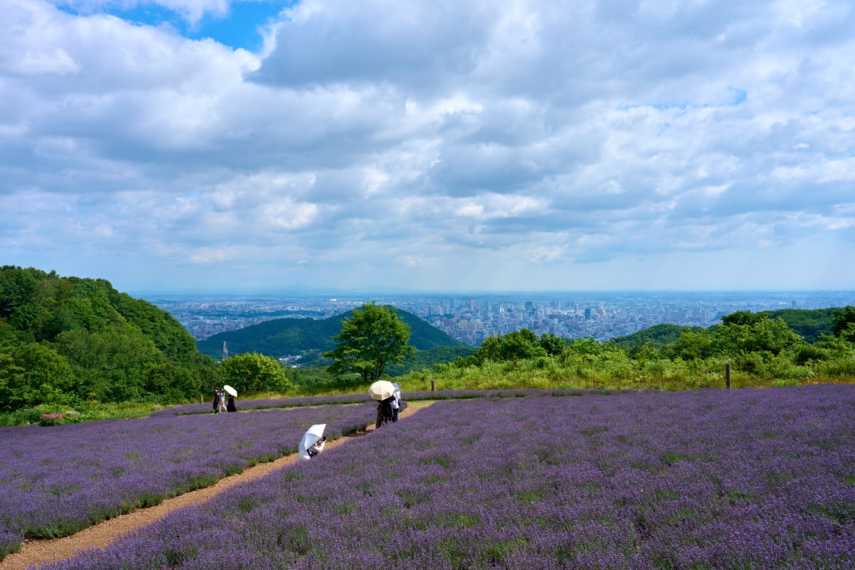
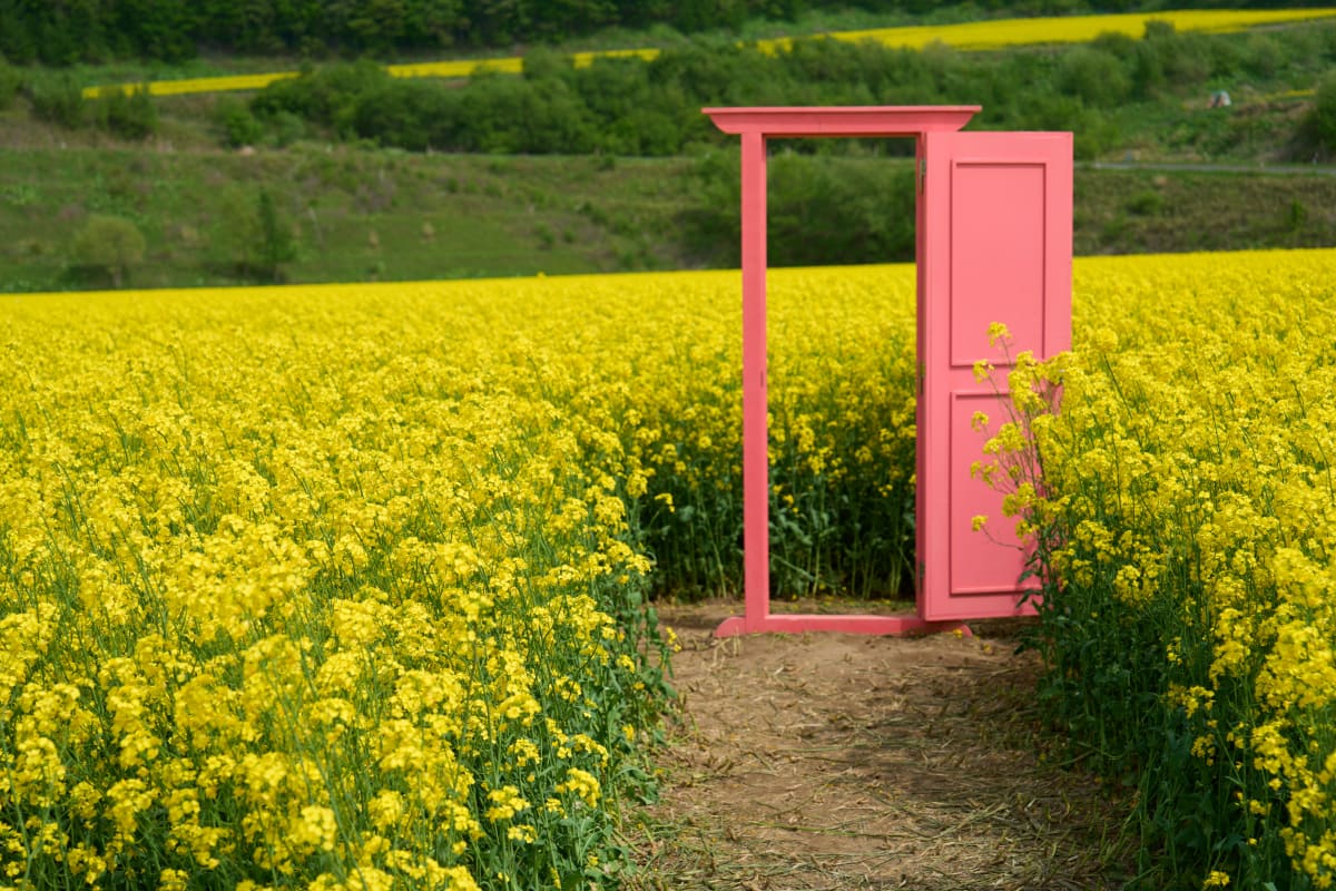
- Furano & Biei flower fields — lavender in July plus the iconic patchwork hills, the most photogenic rural landscapes in Japan
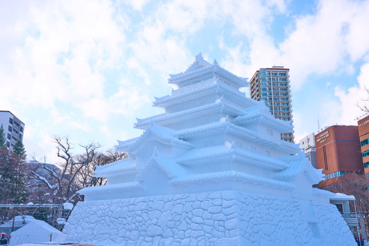
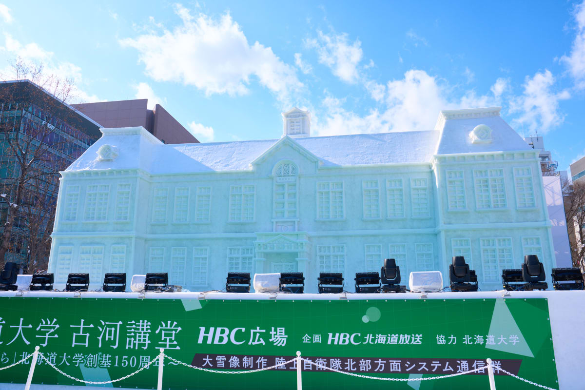
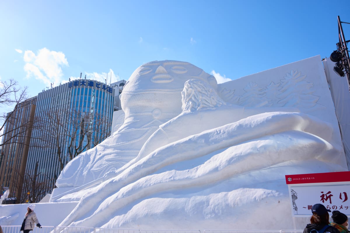
- Sapporo Snow Festival in February — giant snow sculptures and night illuminations across Odori Park, the symbolic winter event of northern Japan
- Drift ice on the Sea of Okhotsk — late January through early March along Abashiri, Shiretoko, and Monbetsu, with sunsets behind floating floes
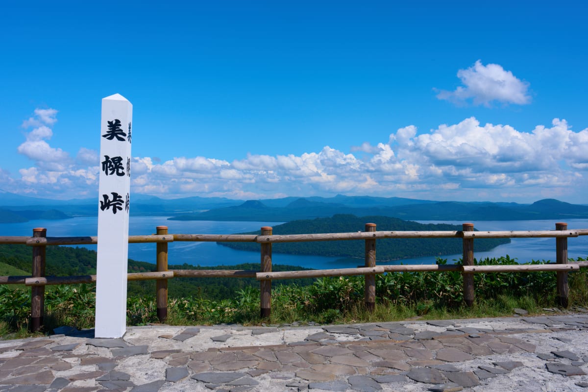
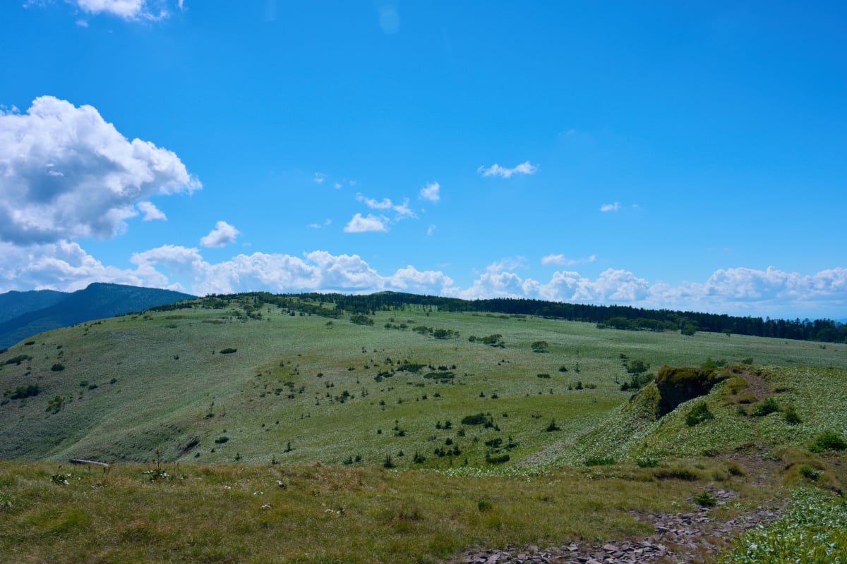
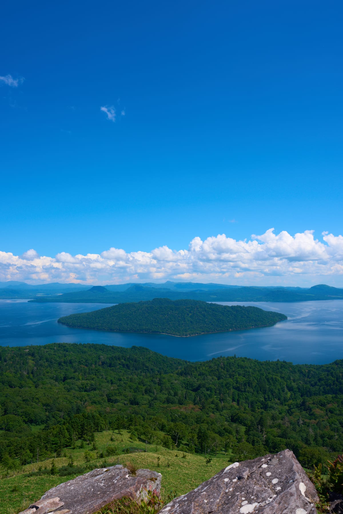
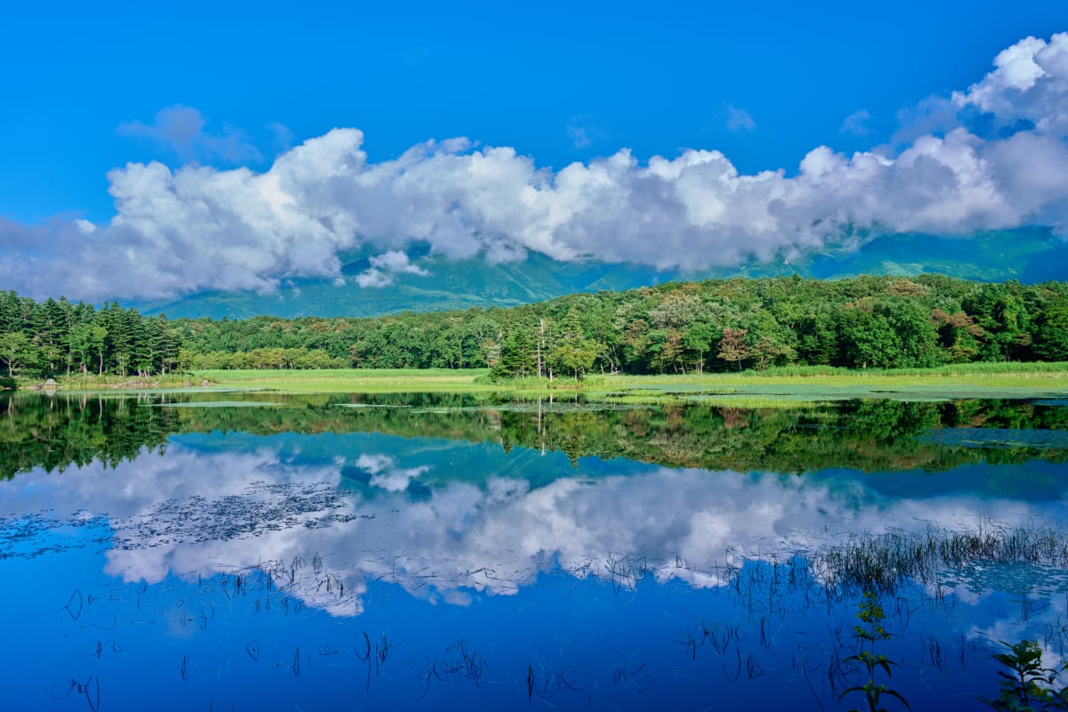
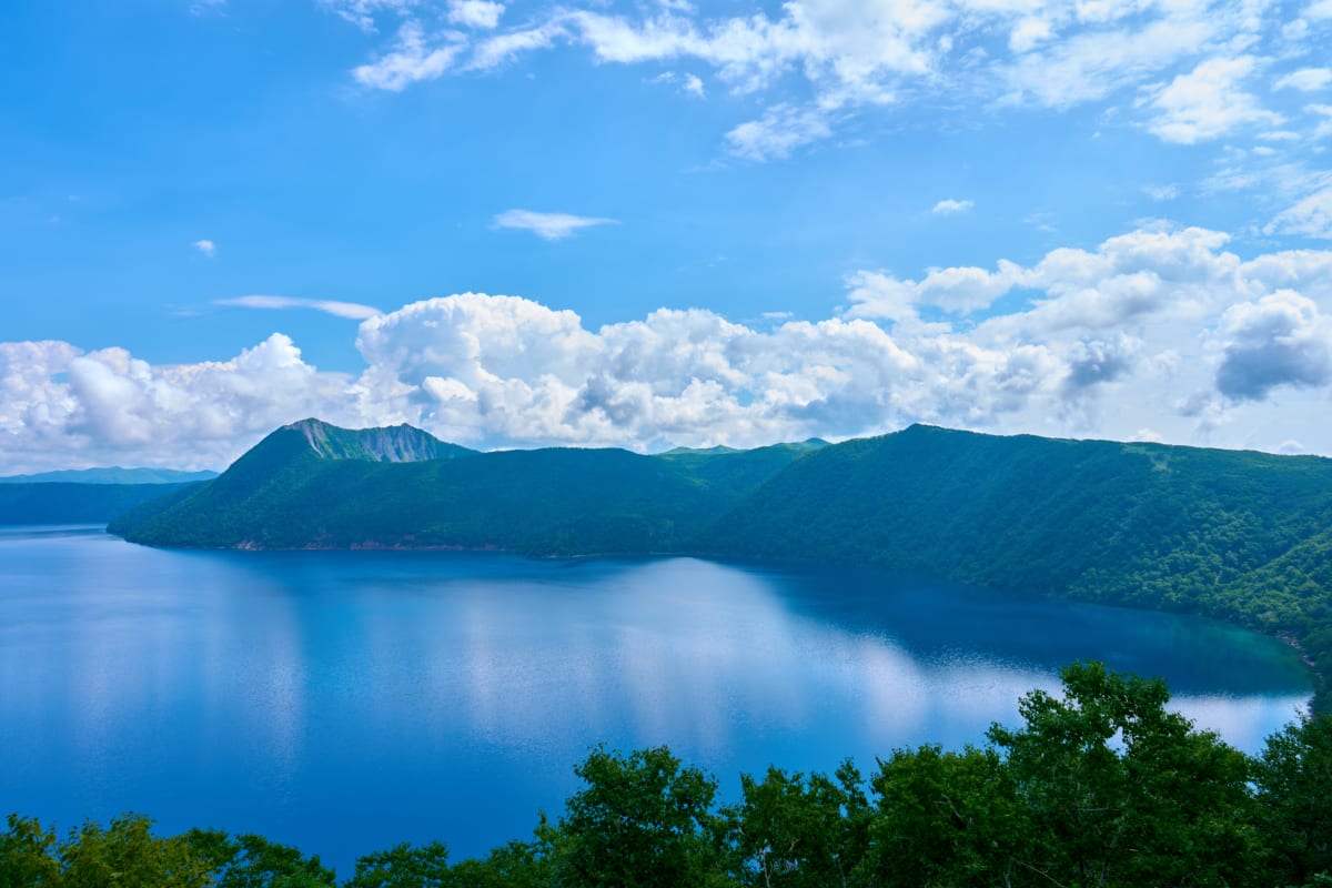
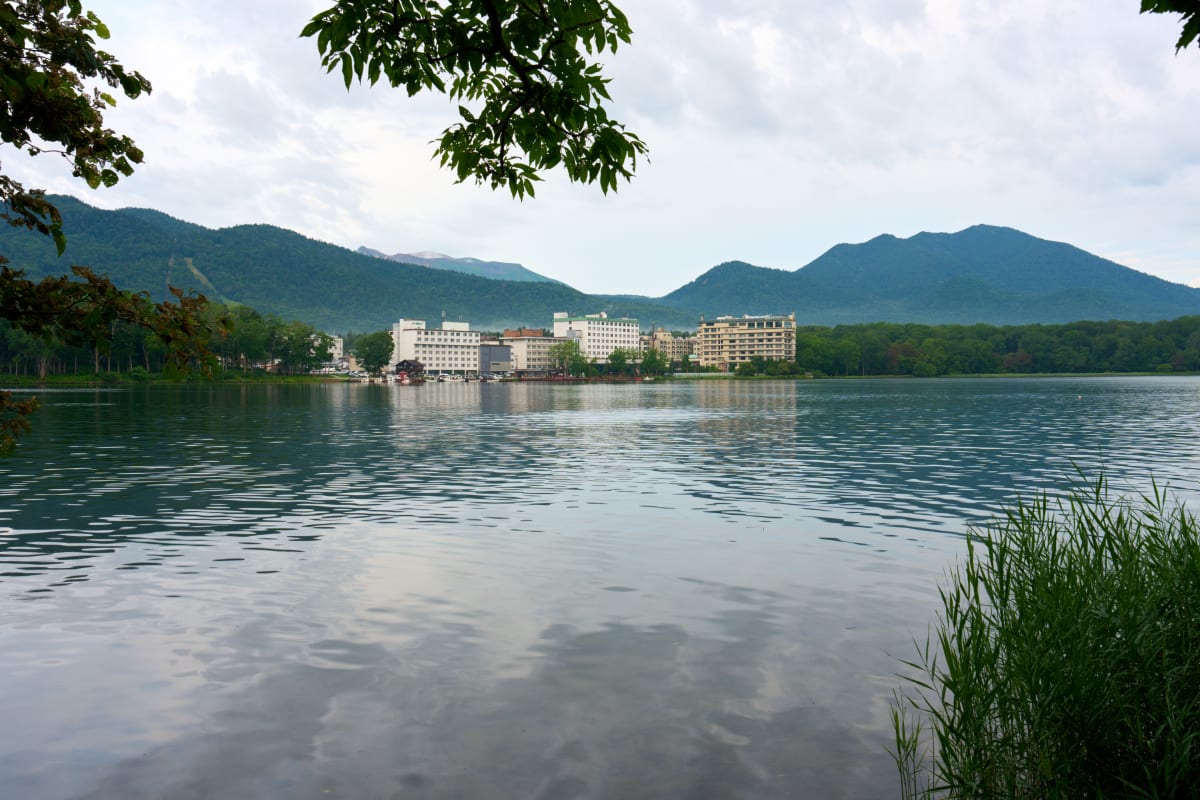
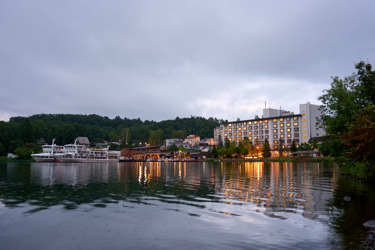
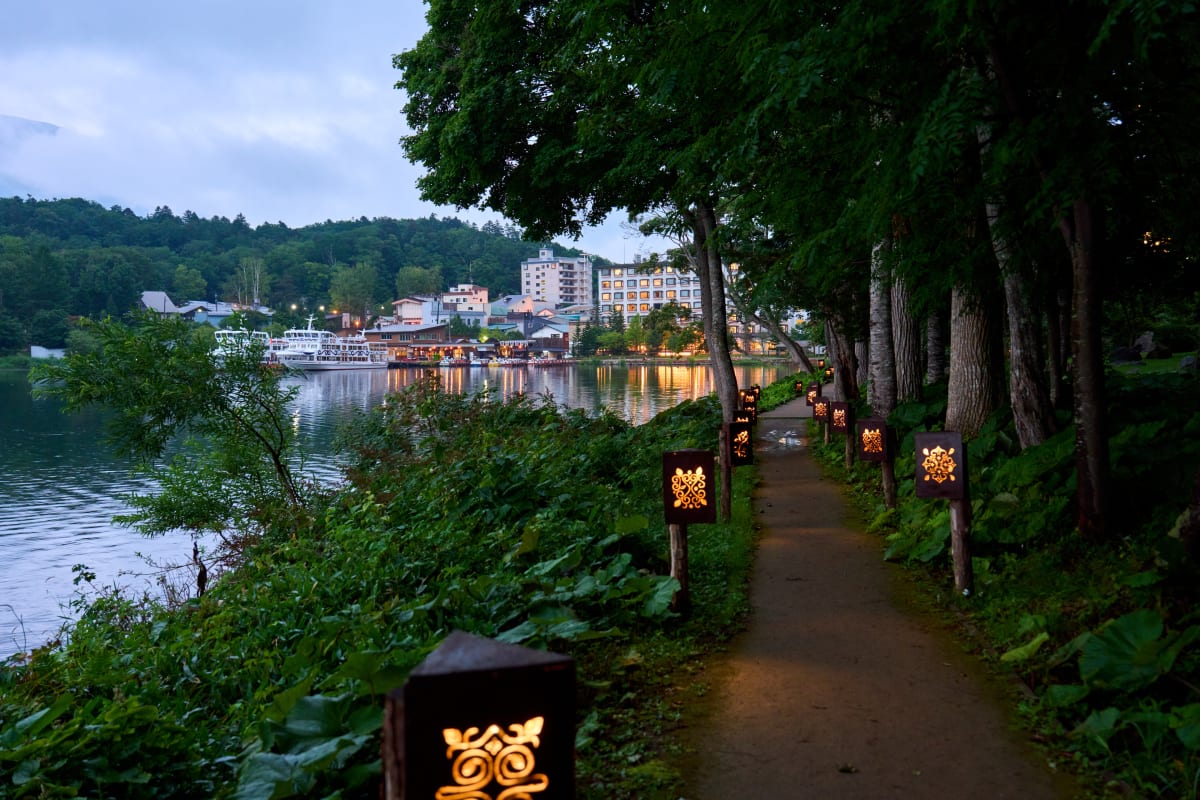
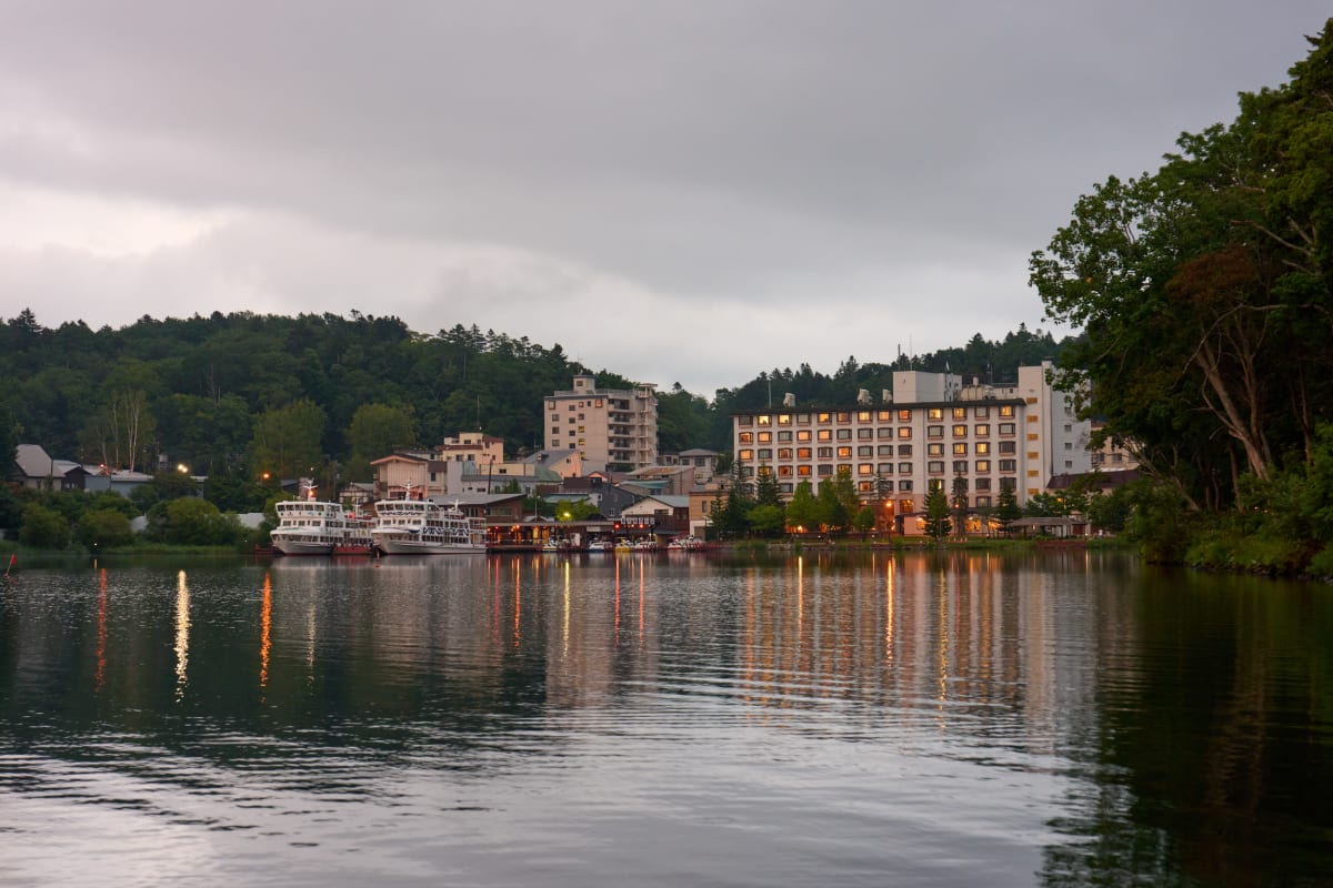
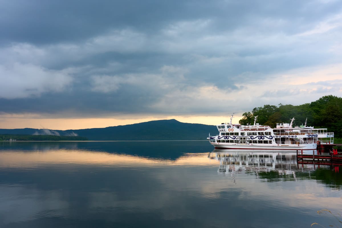
- Caldera lakes Mashu, Toya, and Shikotsu — surreal blue waters carved by ancient volcanism, unique to Hokkaido's geology
Quick Answers
What is Hokkaido?
Japan's northernmost main island, covering about 22% of the country's total area. Its volcanoes, lakes, farmland, and primeval forests produce landscapes — drift ice, lavender, deep snow — unavailable anywhere else in Japan.
When is the best season to photograph Hokkaido?
February for the Sapporo Snow Festival and drift ice, July for Furano lavender, October for autumn colors, and January–March for Shiretoko drift ice. Match the subject to its peak season.
What are the main photography spots in Hokkaido?
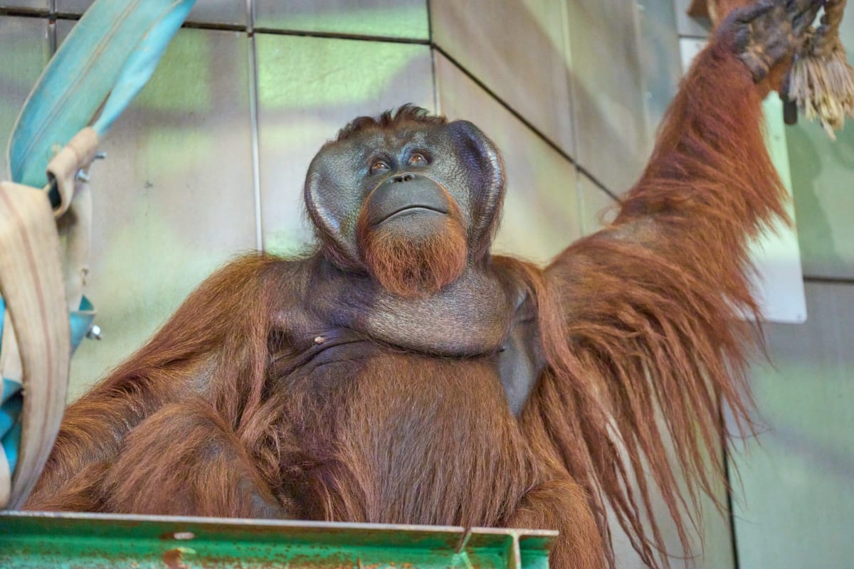
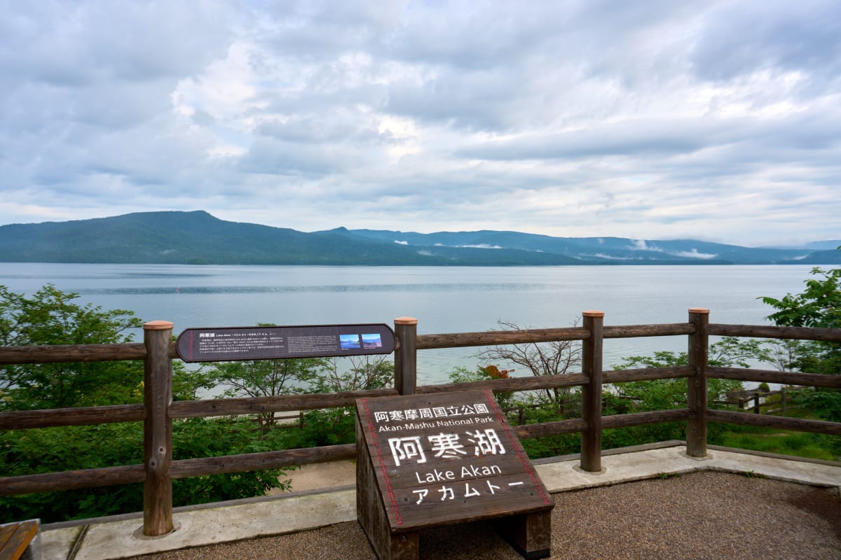
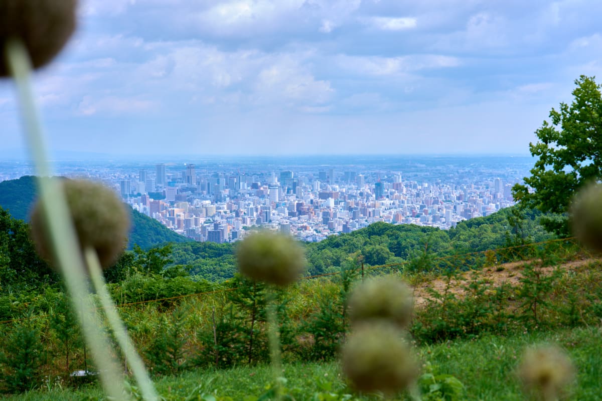
Sapporo, Otaru Canal, Furano & Biei, Lake Mashu, Lake Toya, Shiretoko Peninsula, Hakodate's night skyline, Noboribetsu, and Asahiyama Zoo. Each area has a distinct character, so plan a multi-stop itinerary.